How long will this unusual midsummer pattern last?
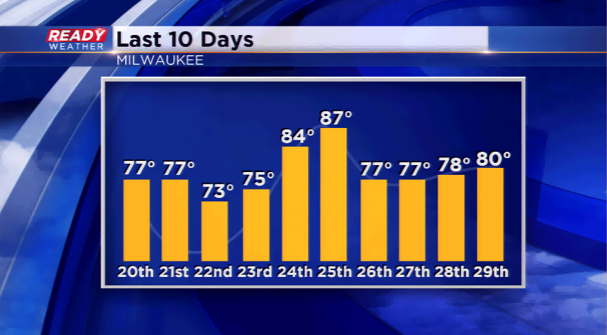
A pronounced dip in the jet stream is acting like a big barrier between the major heat and the cooler temps. A trough continues to dig across the eastern and central part of the country. This has led to 8 out of the last 10 days at or below normal for Milwaukee, and most of the Wisconsin.
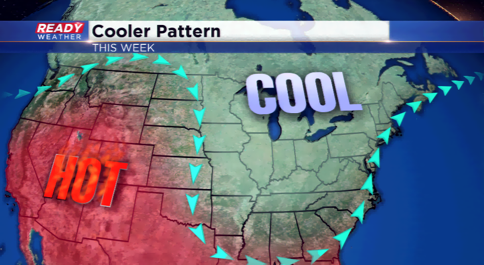
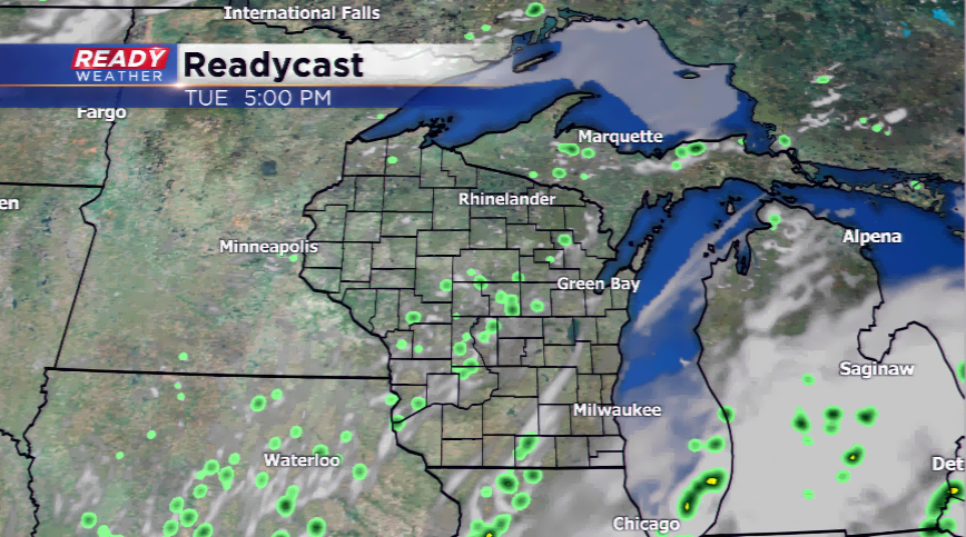
How long will this last? It looks like we will start to see some relief with some warmer air, at times. Early this week, and even late this work week, temps will remain seasonably cool; however, on Wednesday, and this weekend, temps start to rise above average. With the seasonably cool air in place early this week, there’s a shot for isolated, diurnal showers or a thundershower possible.
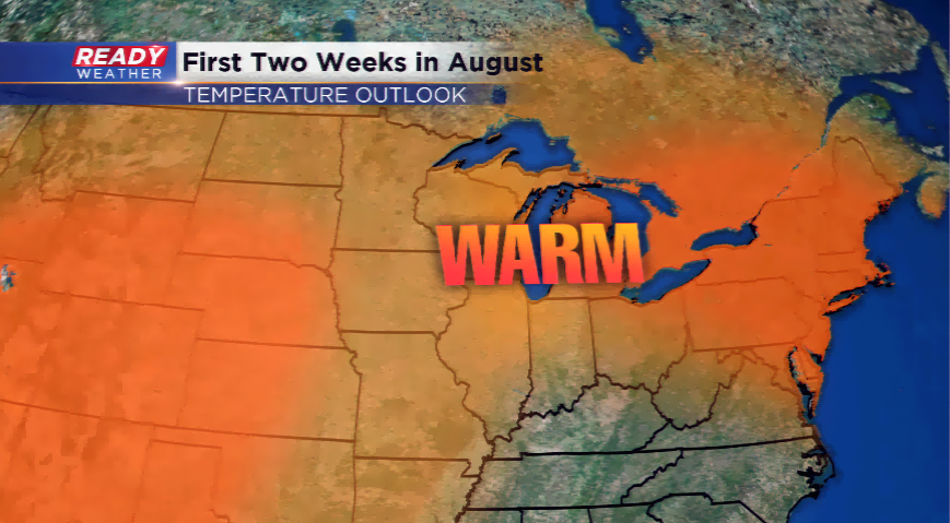
I mentioned that warm up; this weekend, the temperatures appear to jump well into the 80s, and even some parts could see 90. The unusual weather pattern will come to end then!