Briefly warmer with a few flurries Thursday before another cool down


Wednesday was the coldest in 346 days! Low temps reached the teens to -20* and wind chills were down in the -20 to -30 range. Temperatures didn't cool down at all Wednesday night and Thursday is already starting off around 30* warmer. High temperatures Thursday get closer to average around 30* but with a decent breeze throughout the day the wind chills will stay in the teens to around 20.

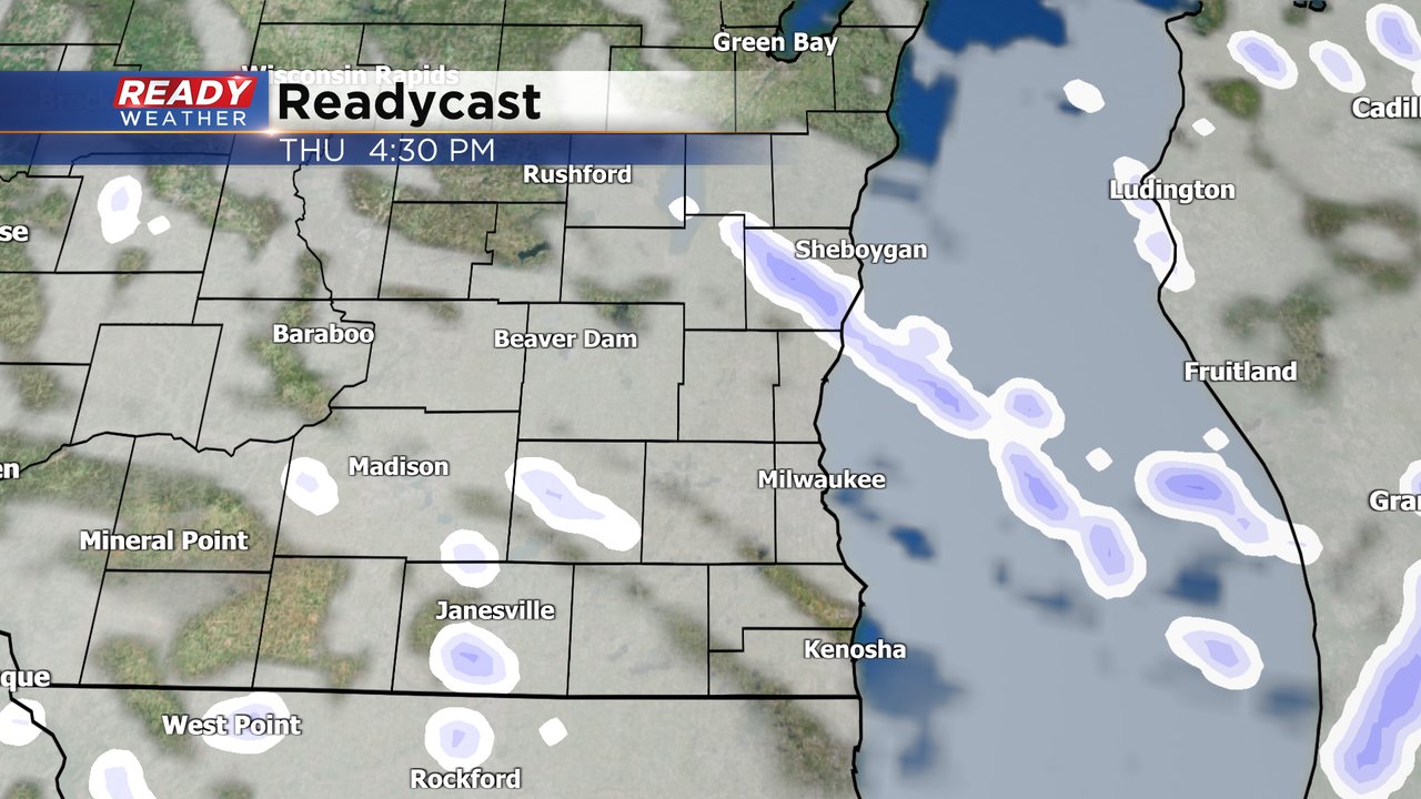
There's also a chance for flurries on Thursday. The better timing for any flakes will be in the afternoon but it all looks light with some light snow showers or flurries that won't amount to more than a dusting.
Enjoy the warm(ish) temperatures Thursday because another cold blast is on the way Thursday night. By Friday morning air temperatures will have dropped into the single digits to around 10* with wind chills down in the -10 to -20 range. We briefly see wind chills go above-zero Friday afternoon then back below-zero Saturday morning.

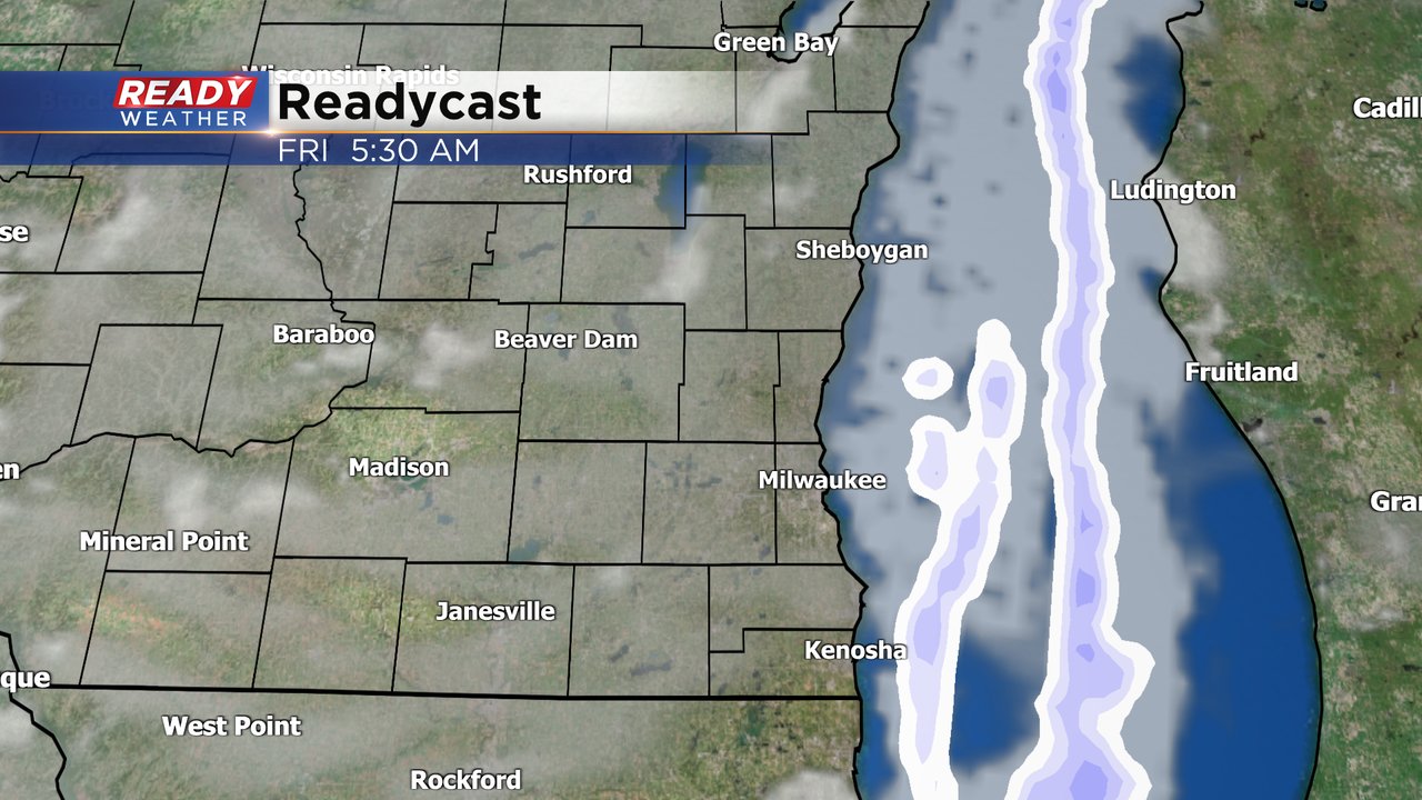
Friday also has the chance for an isolated lake effect snow shower. Any lake effect would likely stay south of Milwaukee and only brush our southeast counties bringing a flurry to areas like Racine, Kenosha, Pleasant Prairie. If any lake effect does move onshore it will remain very light.
Download the CBS 58 Ready Weather app to track the fluctuating temps and chance for flurries.