Another round of light snow and mix arrives late Monday night


We are right in the middle of a snow train. It started over the weekend with the 2-5" of snow that fell from Friday night through Saturday evening. Last night southeast Wisconsin picked up anywhere from a dusting in southern spots to 3" in northern communities.

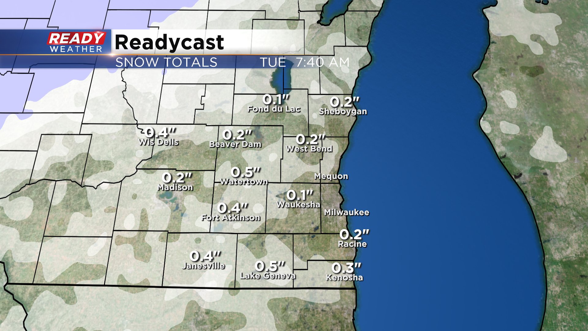
Our next clipper arrives after midnight early Tuesday morning with some light snow or a touch of freezing drizzle.
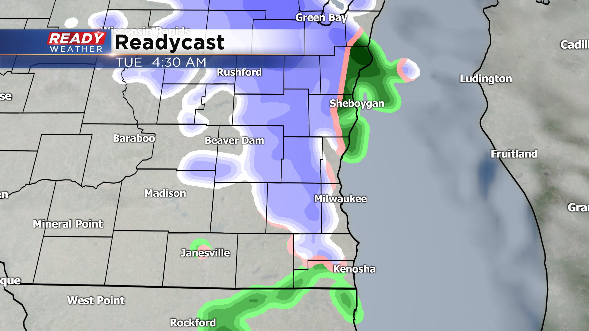
Accumulation with this third round look to be very light with most only seeing flurries or a tenth of snow. A few spots could get up to a half inch. Any freezing drizzle is not expected to be significant.
Another round of mainly snow looks to arrive Wednesday. There's some disagreement among weather models but light accumulation is not out of the question.

Thursday is our only dry day this week. It bring sunshine and colder temps in the 20s before another round of snow arrives Friday into Saturday. This weekend storm could be a little bigger and is currently trending towards more of a snowy solution instead of wintry mix.
Download the CBS 58 Ready Weather to track the radar with each round of snow and see how cold it gets after the snow is done.