Evening Severe Weather Update...Flash Flooding Possible...New watch
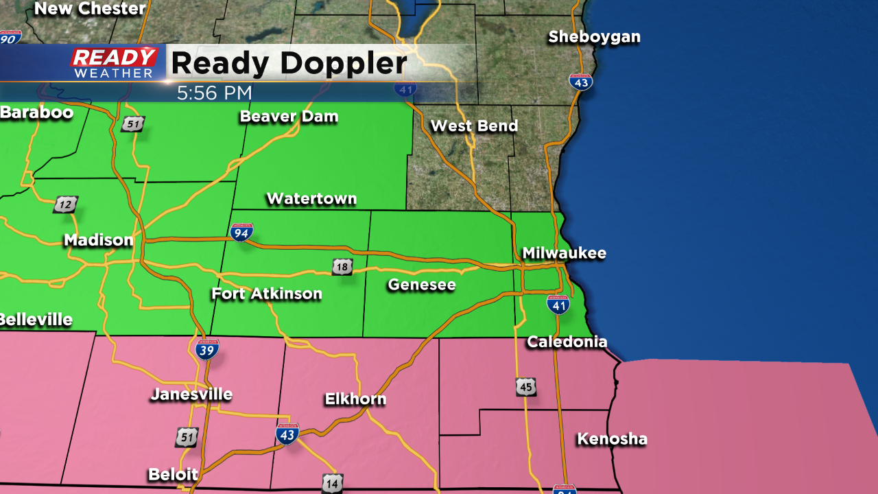
A new severe thunderstorm watch has been issued for Walworth, Racine, and Kenosha counties until Midnight. This area will have the best ingredients for strong to severe storms.
Scattered showers and storms will continue to develop late this afternoon into the evening across southeastern Wisconsin. After dark the low-level jet will kick back up and produce strong to possibly severe storms across northern Illinois and extreme southern Wisconsin. There will be an isolated tornado threat; however, it looks like the best ingredients will stay just over the border. Storms that ride along the border will need to be watched closely.
Rain and storms that arrive are capable of producing damaging winds, small hail, and very heavy rainfall. The moisture within the atmosphere today is almost tropical, so locally heavy rainfall over 3 inches will be possible with the storms. Flash flooding could occur tonight, especially in areas that have already experienced flooding.
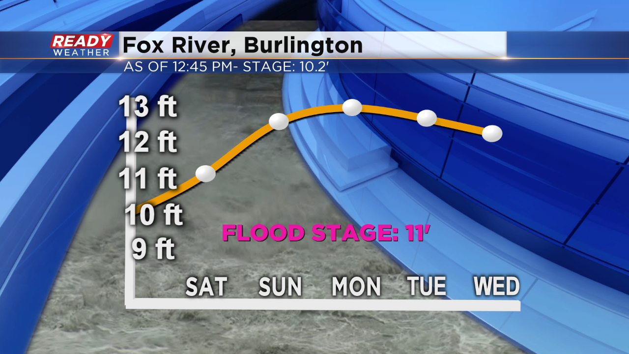
The Fox River near Burlington will once again go above flood stage throughout the weekend. While record levels aren't expected, more flooding will cause issues for residents along the river.
The showers and storms tonight should move out after 2 am with dry weather expected throughout the weekend.
