


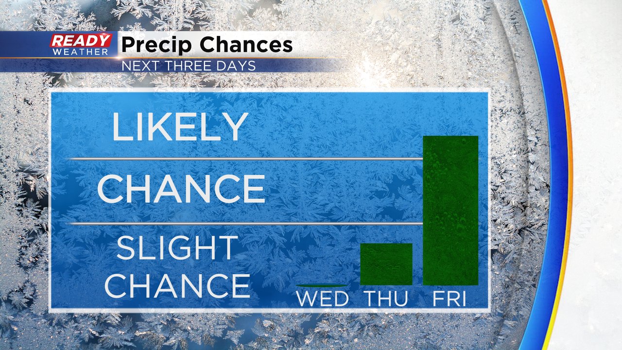
For a few days now the Ready Weather team has been discussing the potential for accumulating snow and that chance continues to increase. Snow starts to roll in around and after midnight Thursday night and then lasts at least through the late morning hours of Friday.
Expect steady snow to fall during the Friday morning commute. The heaviest snow may fall during the mid to late morning hours. Some lingering snow showers may last through the afternoon and evening.

Most weather models have accumulating snow for all of southeast Wisconsin but there is a chance that some rain could mix in near the IL border. What is not in agreement is who sees the heaviest snow. Depending on what model you look at it's either our northern or central or southern counties. Right now areas along and north of I-94 including the Waukesha/Milwaukee metros have the better chance for more snow with 3-6" possible. Southern counties are looking at less with 1-3" there. Expect changes to this map over the next 36 hours.

The snow will come down pretty steady and heavy at times and the Friday morning commute is likely going to be impacted with at least slick and slippery roads and possibly snow covered roads in spots. The Friday afternoon/evening commute should be much better but still slushy in spots. The wind will pick up again on Friday with some blowing snow but not terribly windy.

Download the CBS 58 Ready Weather app to track the return of snow.