

-
3:20

After FPC meeting, unclear how many federal and local agencies...
-
1:21

Milwaukee police search for man accused of killing 37-year-old...
-
2:38

Landowners relieved after ATC moves proposed power lines for...
-
2:26

Political insiders weigh in on future of Wisconsin Legislature...
-
3:19

New documents reveal why no help was sent to 99-year-old woman...
-
2:28

CBS 58 Hometowns LIVE: Light the Night 🏮
-
1:55

Racine County deputy makes first court appearance for accidental...
-
0:52

Milwaukee Public Museum celebrates Hispanic Heritage Month with...
-
4:06

Visit Milwaukee preview: Sept. 18-20
-
1:01

Extension of Oak Leaf Trail now open in Oak Creek
-
1:40

Milwaukee Padel community has a new space to play and grow the...
-
0:52

11 local finalists participate in small business pitch competition

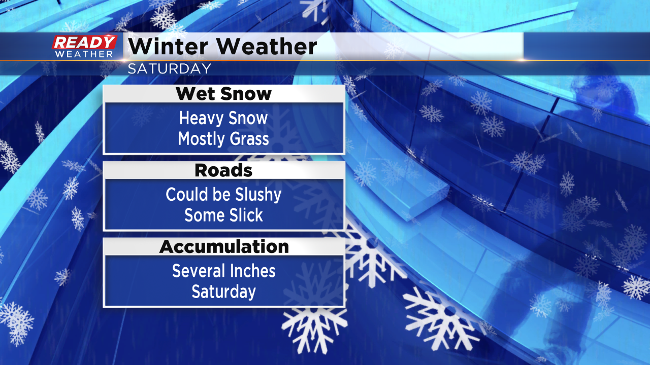
April's crazy weather will continue with a chance for accumulating snow on Saturday. Snow looks likely for the entire area, and that could cause slick issues for Saturday evening.
A mix of rain and snow will develop late in the morning and into the early afternoon; however, we expect better chances for all snow by the late afternoon and evening. The snow will start to accumulate on the grass first, but heavy snow will allow it to accumulate on the roads.
A wet slushy snow could create slick issues for Saturday night.
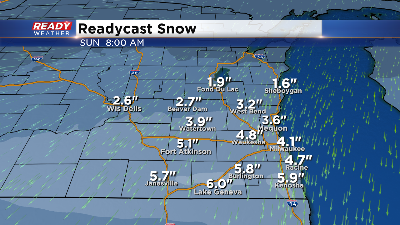
A swath of 3" to 6" of snow is possible around the metro to the Illinois/Wisconsin border. The lowest totals will occur across our northern counties. This forecast will change depending upon the track of the system.
Sign up for the CBS 58 Newsletter