Warm & windy conditions to create high fire danger Saturday
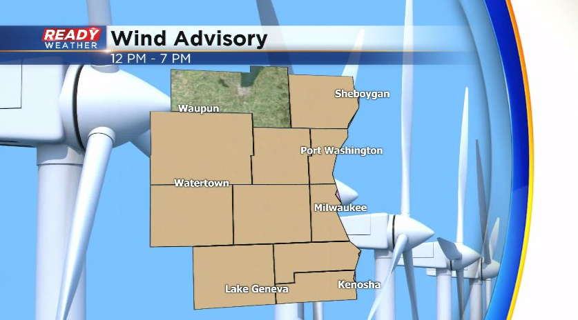
Winds are starting to ramp up this morning and will frequently gust between 30-40 mph today. Wind gusts may approach or exceed 45 mph during the afternoon. A Wind Advisory has been issued for all counties besides Fond du Lac from Noon through 7pm.
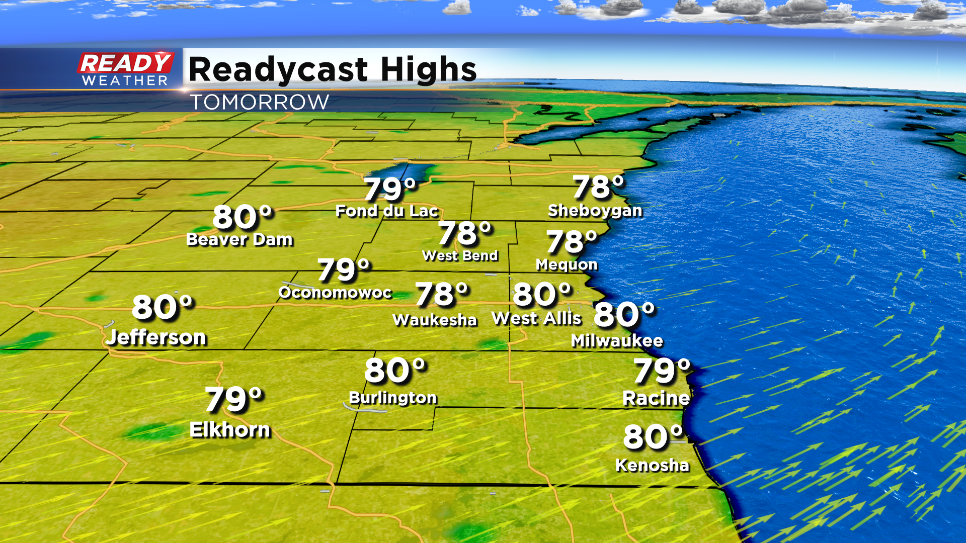
After a few mid-morning clouds and maybe a stray sprinkle, more sunshine will develop for the afternoon. Sunshine and strong southwest winds will help boost temps into the upper 70s to low 80s.
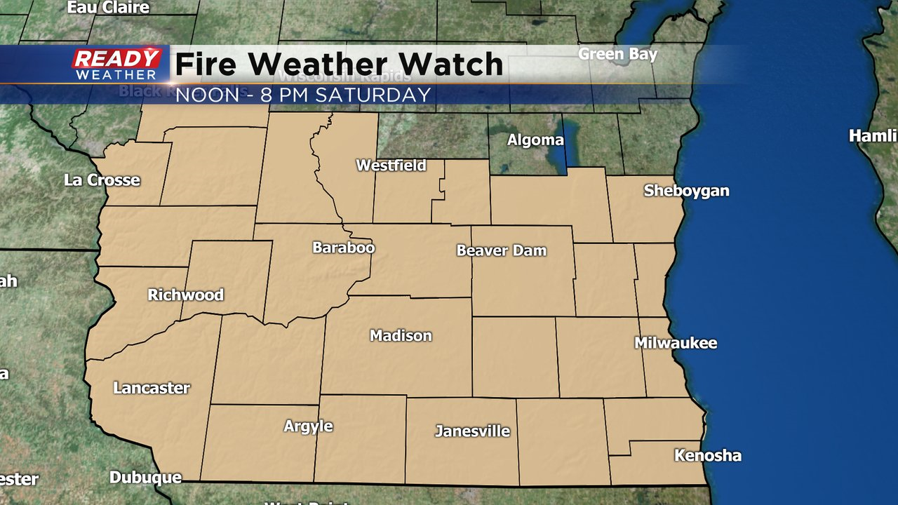
The combination of warm temperatures, strong winds, and very dry vegetation will lead to very high fire danger on Saturday. A Fire Weather Watch has been issued for all of southern Wisconsin from Noon - 8pm Saturday.
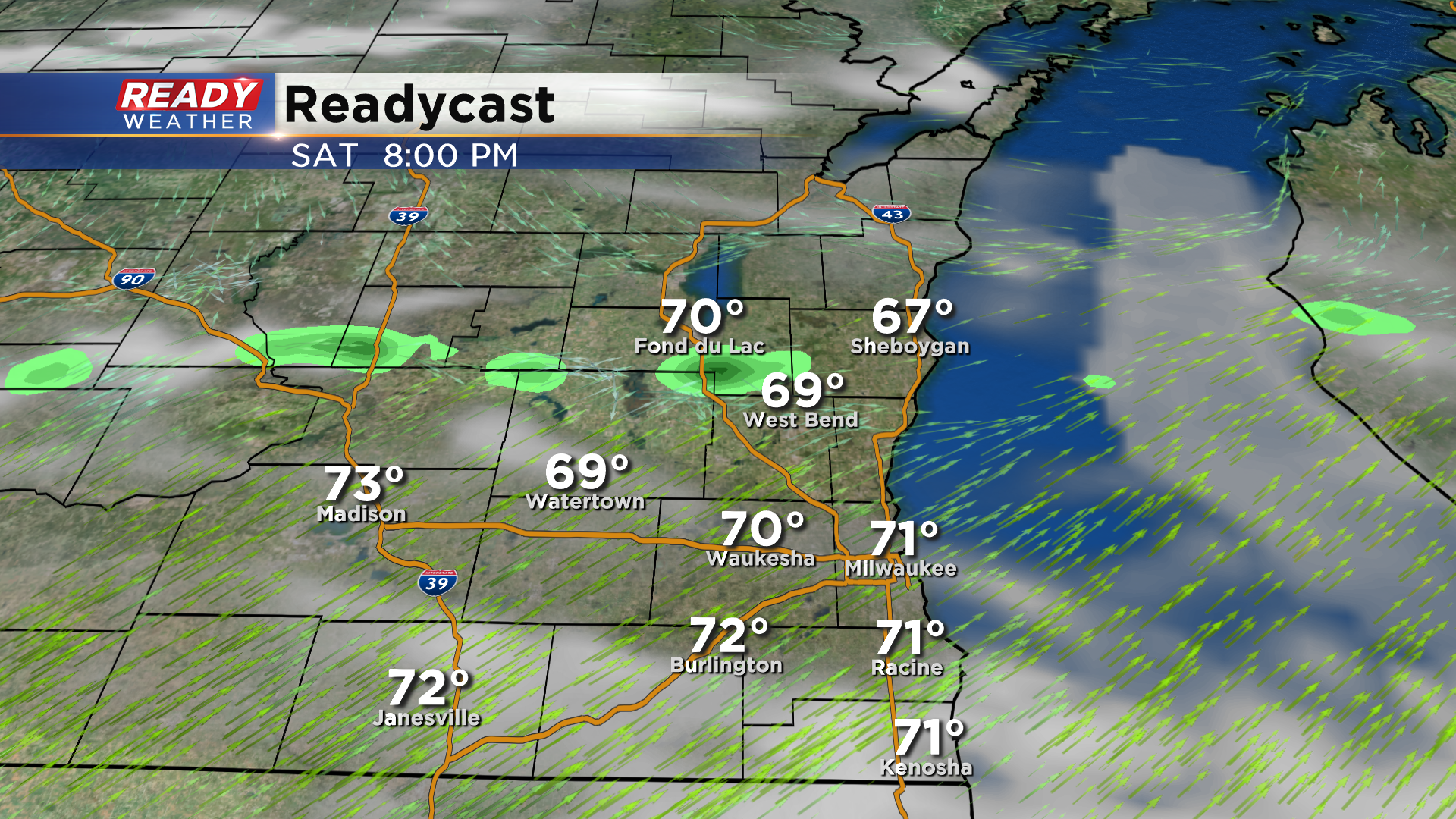
While we can't rule out an isolated storm from popping up in the evening (20% chance), most of the area should remain dry. If a storm is able to pop, it could produce gusty winds. Best chance of a pop up storm will be in our northern counties which will be closer to the boundary.
A better chance for rain arrives Sunday night through Monday. Download the CBS 58 Ready Weather App to track any pop up storms this weekend.
