Thursday's Severe Weather Update
A lot of ingredients will come together on Thursday to produce the chance for widespread severe weather across the state of Wisconsin. So far 2017 has been very active with tornadoes. Wisconsin has already recorded 21 tornadoes. In 2016 there were only 15 tornadoes. The state averages 23 tornadoes.
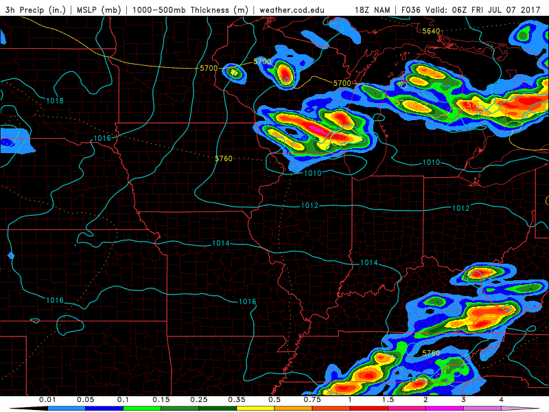
Tomorrow's ingredients look to come together across SE WI between 6 pm and Midnight. Morning showers and storms across northern Wisconsin will push an outflow boundary south across central Wisconsin. That boundary will serve as the focus for additional late afternoon and evening storms to develop on. Storms that blow up will merge together as they move south into SW WI.
High dewpoints, explosive instability, and wind shear will be present during the evening. Storms that fire within that environment could produce damaging winds, large hail, and isolated tornadoes. If a complex comes together damaging winds over 70 mph will be the primary threat.
Please download the CBS 58 Ready Weather App to get watches and warnings on your phone.


