High heat and humidity could fuel showers and storms for part of this weekend
Temperatures will soar into the 80s on Saturday on a strong southwest wind. Highs could top out near 90 by the late afternoon. The atmosphere should be capped and quiet for Saturday; however, Sunday morning could be a different story.
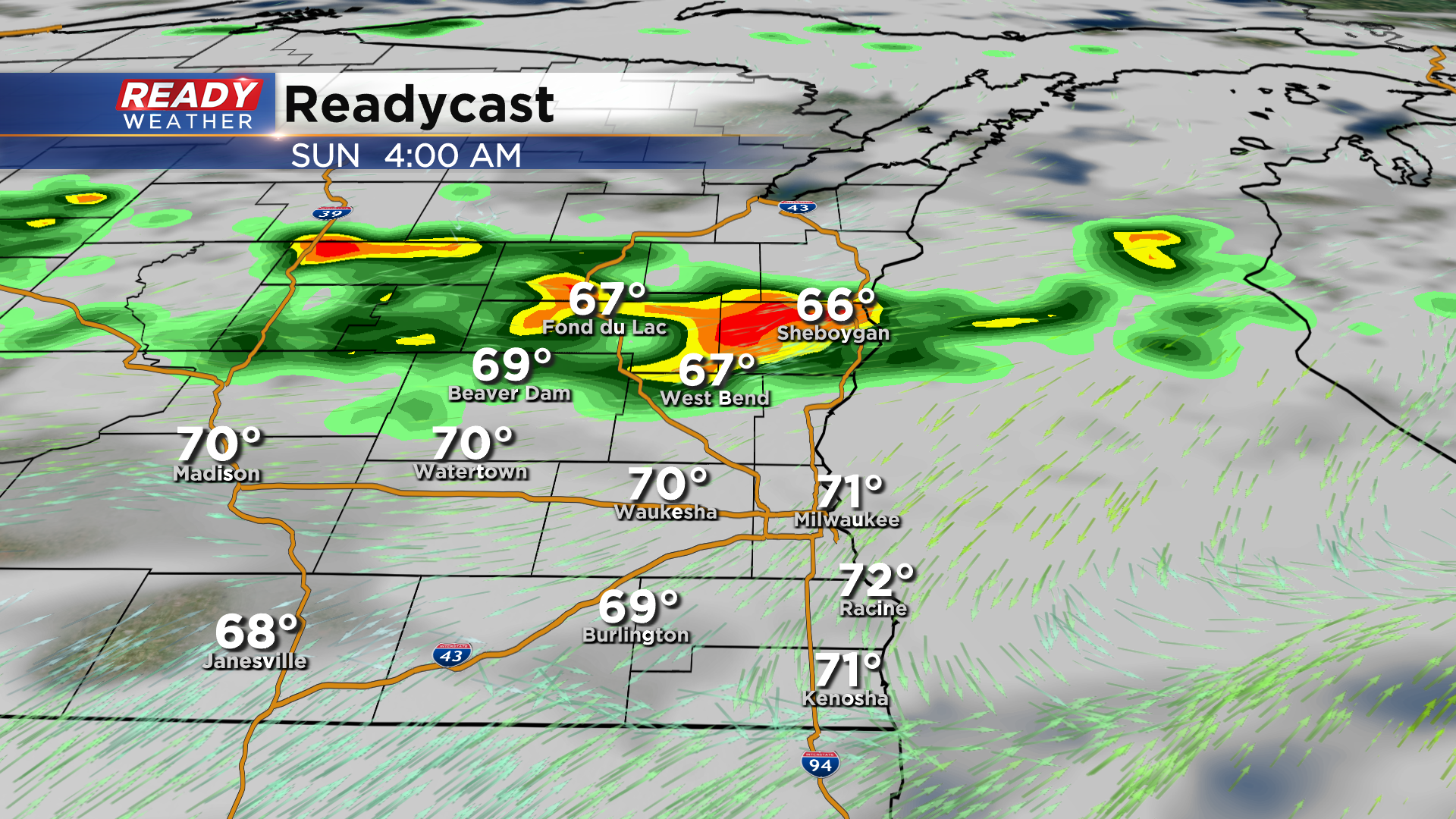
Winds will turn late Saturday night into Sunday morning as a front approaches from the northwest. That could spark some storms after midnight, mainly across our northern counties.
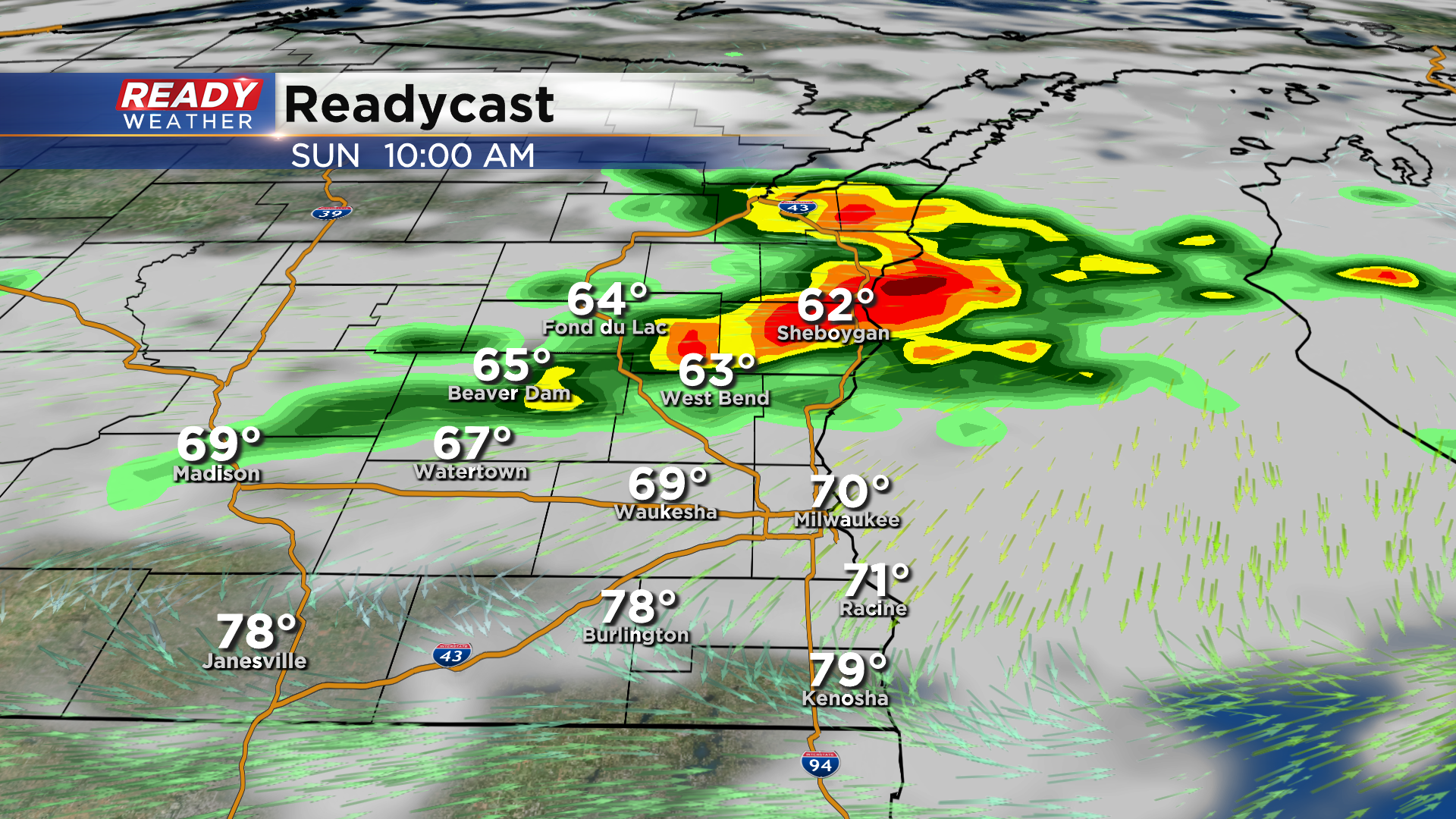
That boundary will likely sit across southeastern Wisconsin on Sunday morning. More storms could fire during the morning and early afternoon.
Depending upon the ingredients, some storms could produce some hail and gusty winds. A marginal risk for a strong to severe storm is for the northern half of our viewing area.
The exact placement of the front remains in question and will need to be watched. We will update you on timing throughout the weekend.
