Storm pattern shifting north bringing heavy rain to Wisconsin
The rainy weather we ended the work week with is back for the start of a new week. The storm pattern has begun to shift north placing southern Wisconsin in an areas where rain and storms will continue to be possible. Although the heaviest rain will stay just to our south some stronger thunderstorms may be possible the next few days.
Most of your Mother's Day will stay dry with a few lingering showers in the morning and a pop up shower possible in the afternoon. Luckily, the shift north with the storm pattern also means some warm air is returning with 60° back in the forecast on Mother's Day.

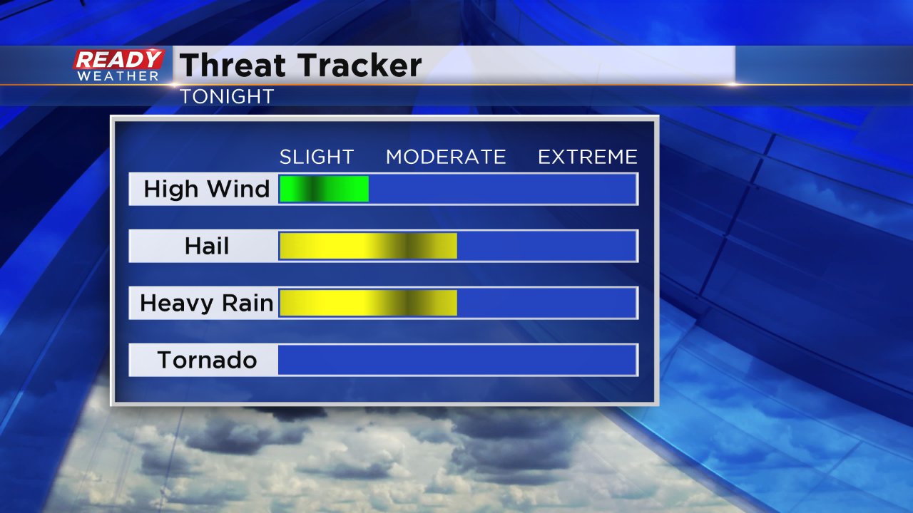
The best ingredients for severe weather will stay to our south in Illinois the next few days but a few isolated stronger storms are not out of the question. Any storms that do develop will likely have hail as the main threat along with some heavy rain.
Scattered rain and storms chances do return on both Monday and Tuesday with rain possible most of the day. By the end of Tuesday parts of northern Illinois could pick up around 2.50" of rainfall. In Wisconsin rain totals will increase as you move south with a quarter inch in our northern counties up to an inch near the Illinois border.
Download the CBS 58 Ready Weather app to track the rain and storms.
