Still Lots of Spring in This Winter Forecast
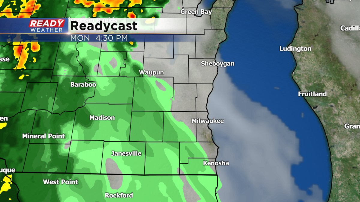
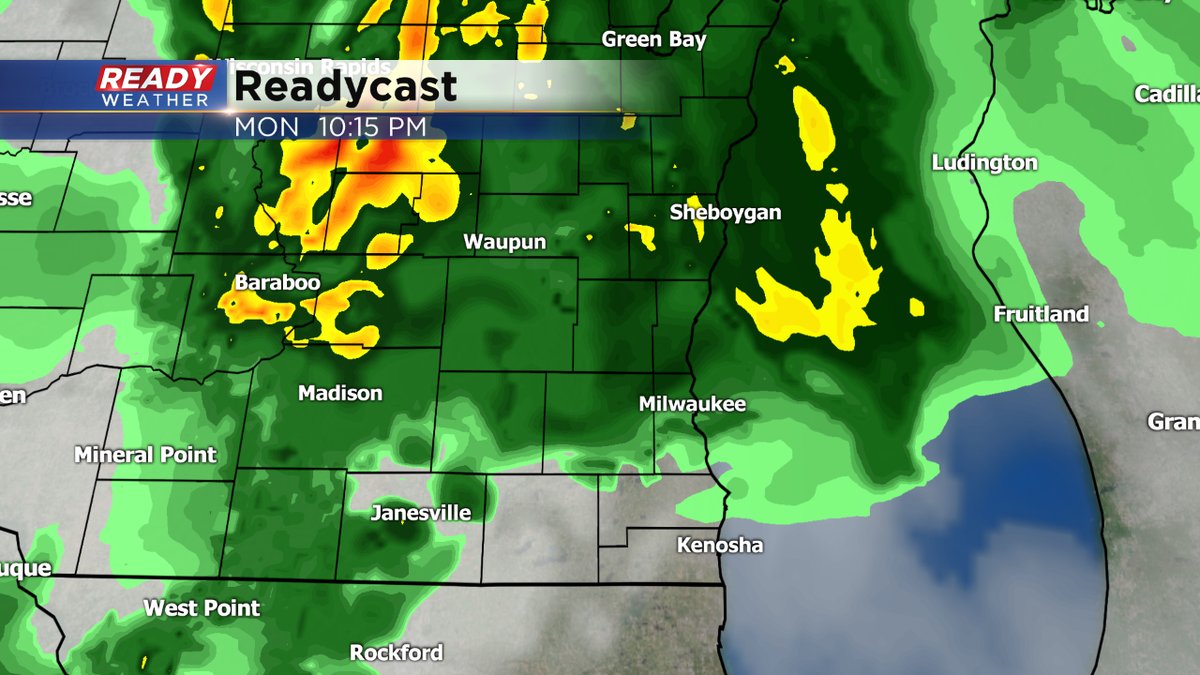
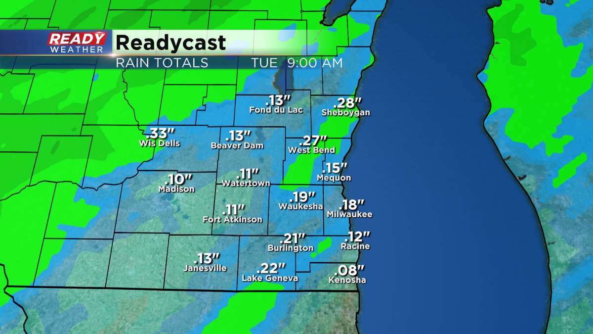
We keep the warmth going through the middle of this week. But for at least a little while, we lose some of the nice weather. A cold front sliding in from the Upper Midwest will keep the rain in the forecast, mainly this evening into much of the overnight. A couple of rumbles of thunder can't be ruled out either. Rain could add up to a few tenths of an inch.


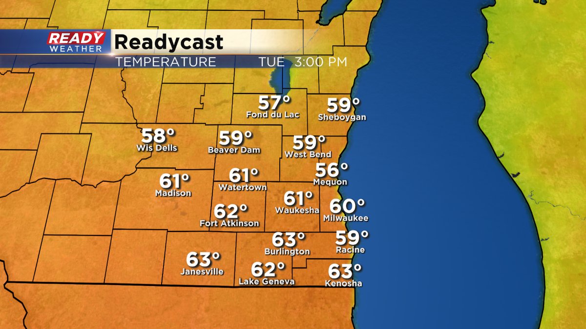
Behind the front, our temperatures don't change much. In fact, they warm again for Tuesday and Wednesday. Perhaps even breaking a few records. By the way, we already shattered old record high temperatures Friday and Saturday. Saturday's high of 67 was the warmest we've ever seen in Milwaukee during the month of February.

High temps start to really come down by Thursday once we get behind a stronger cold front. Rain is expected to become snow at some point later Friday as well. Next weekend should be fairly quiet but seasonable. Highs only in the 30s but just where they should be!
Make sure to download the free CBS58 weather app to keep track of all the changes on the radar when you're away from your home or computer. You could also qualify to win a free CBS58 weather mug. We give one away each weekday morning.

