4:30 PM Update: Storms will be moving out by 6 pm


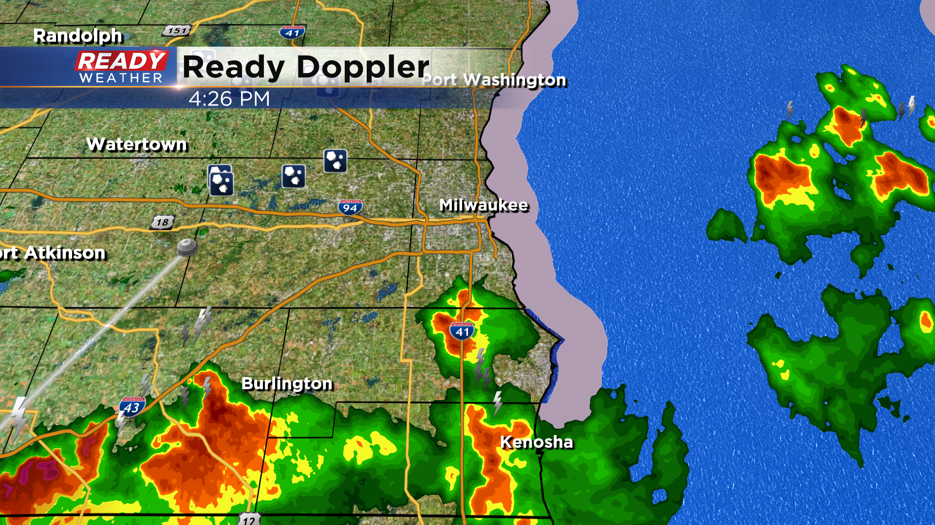
4:30 PM: Scattered showers and storms will leave the area by 6pm. Plan on storms across our southern counties over the next hour. Any lingering storms over the next hour could produce locally heavy rain and small hail.
The roof should be open for the Brewer game this evening.
_______________________________________________________________________________________________________________
3:30 PM Update: Strong to severe storms remain possible through 6 pm. The warnings for Walworth and Jefferson counties have been canceled. Hail and gusty winds remain the largest threats. We do expect the storms to be out of the area by 6 pm.
________________________________________________________________________________________________________________
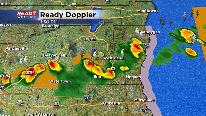
2:30 Update: A severe thunderstorm warning is in effect for western Jefferson county until 3:00 pm. The storm is moving out of Madison and is capable or producing quarter hail and gusty winds. Storms this afternoon are isolated; however, they could pulse up and become strong to severe.
Storms should weaken after 6 pm.
________________________________________________________________________________________________________________
After our morning round of storms, we're back to sunshine and warm temperatures as a warm front approaches. Building instability is triggering additional storms, some have been severe.