More sunshine expected for the rest of Labor Day weekend


Clouds have been persistent today with areas of patchy drizzle and isolated showers from time to time.
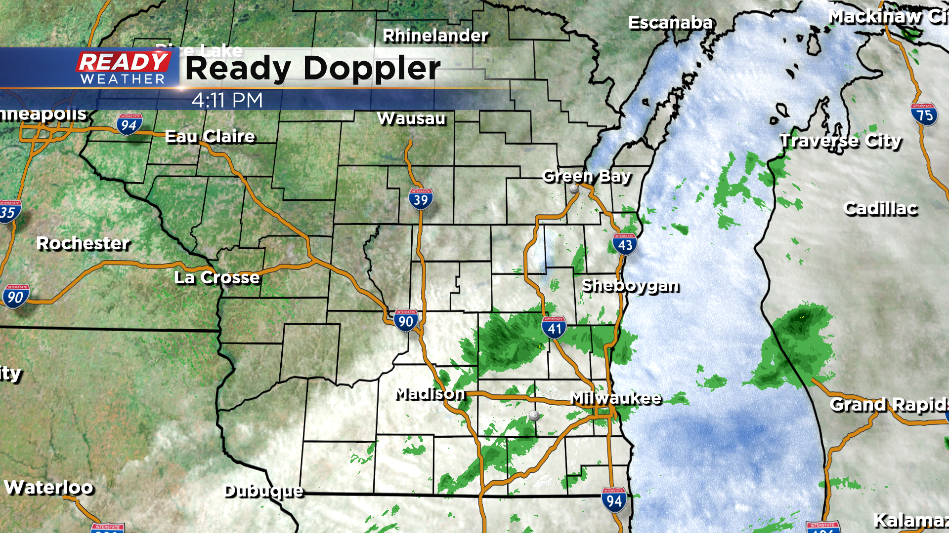
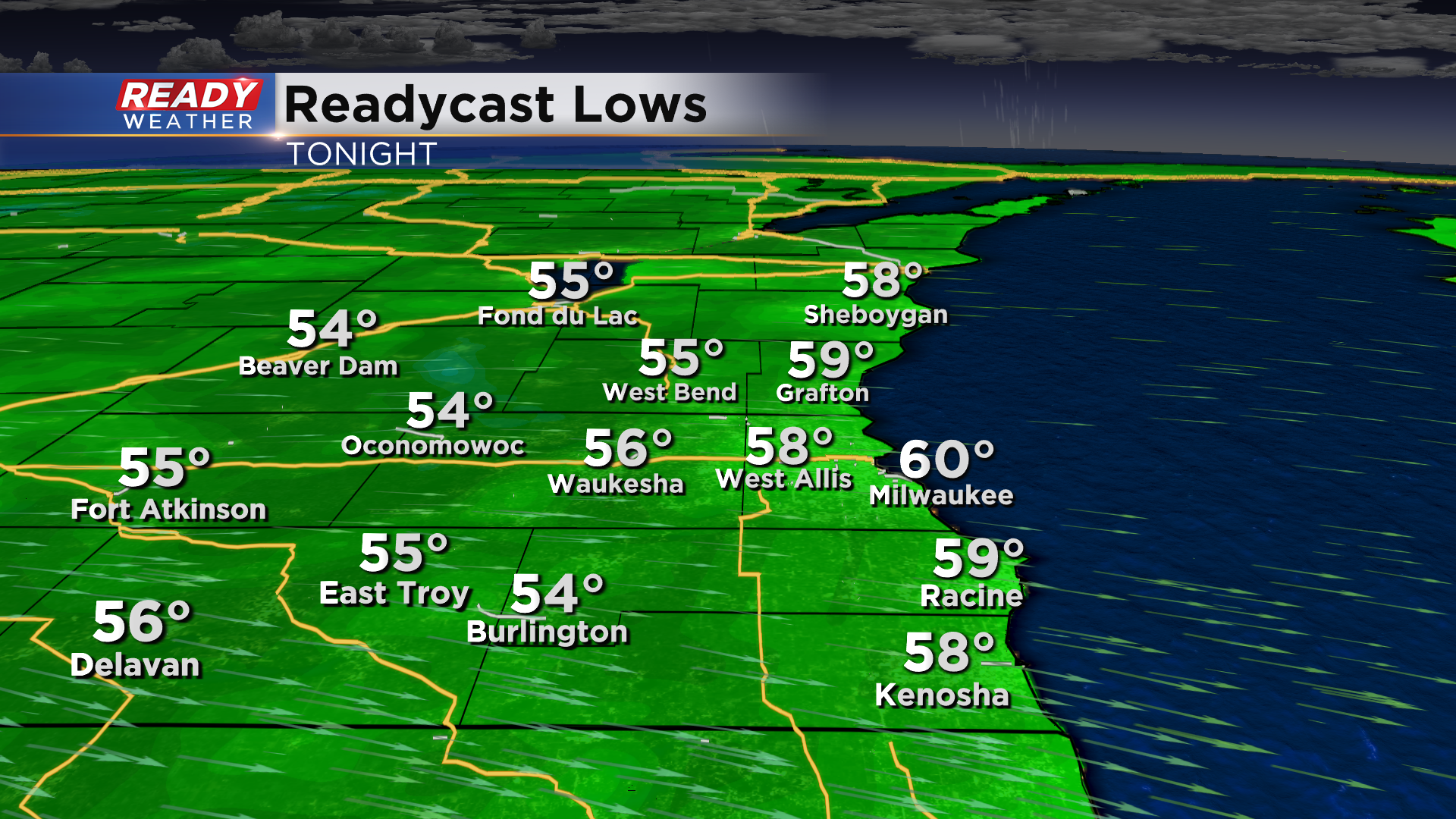
These will come to an end around sunset with skies clearing out overnight. This will allow temps to fall into the mid to upper 50s by early Sunday morning in most spots.
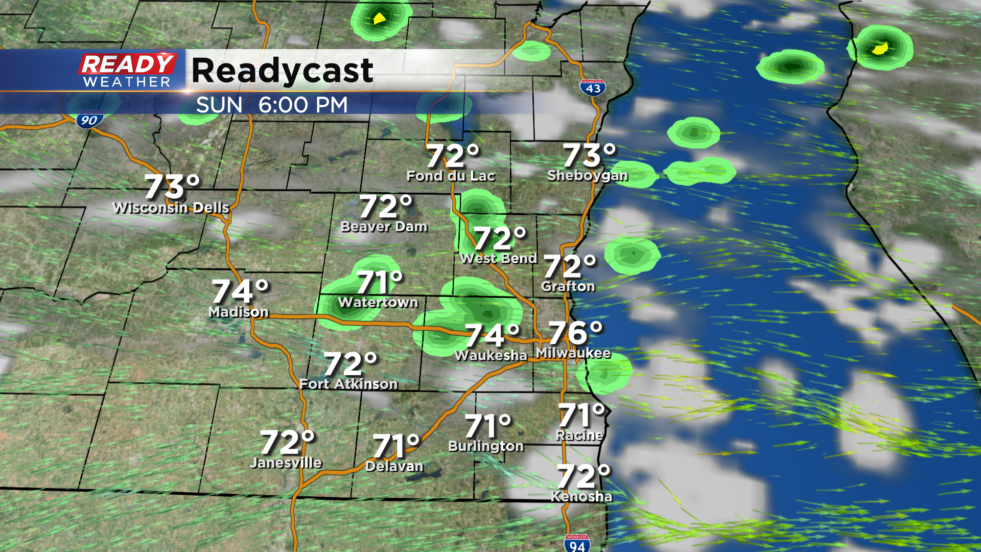
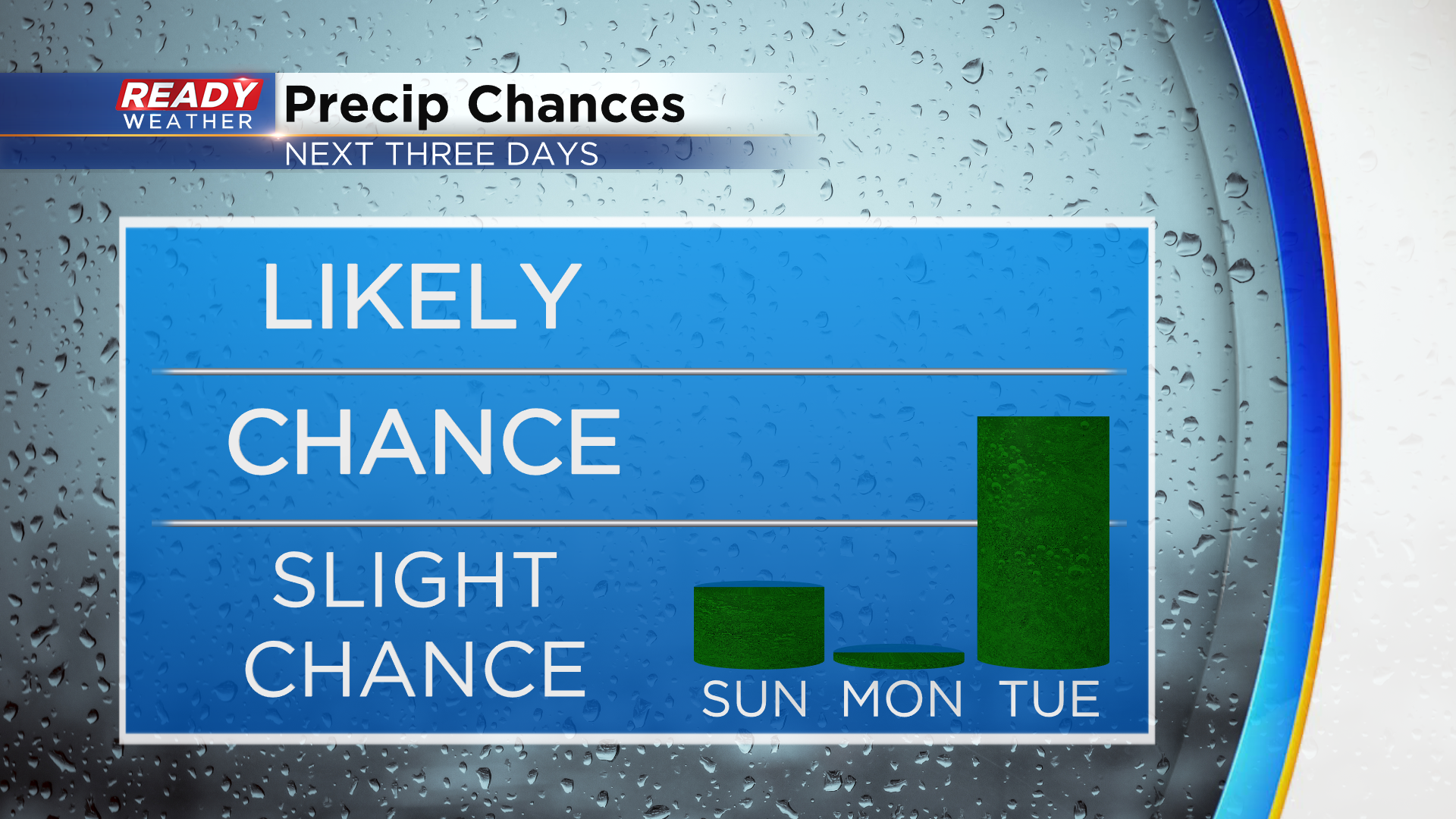
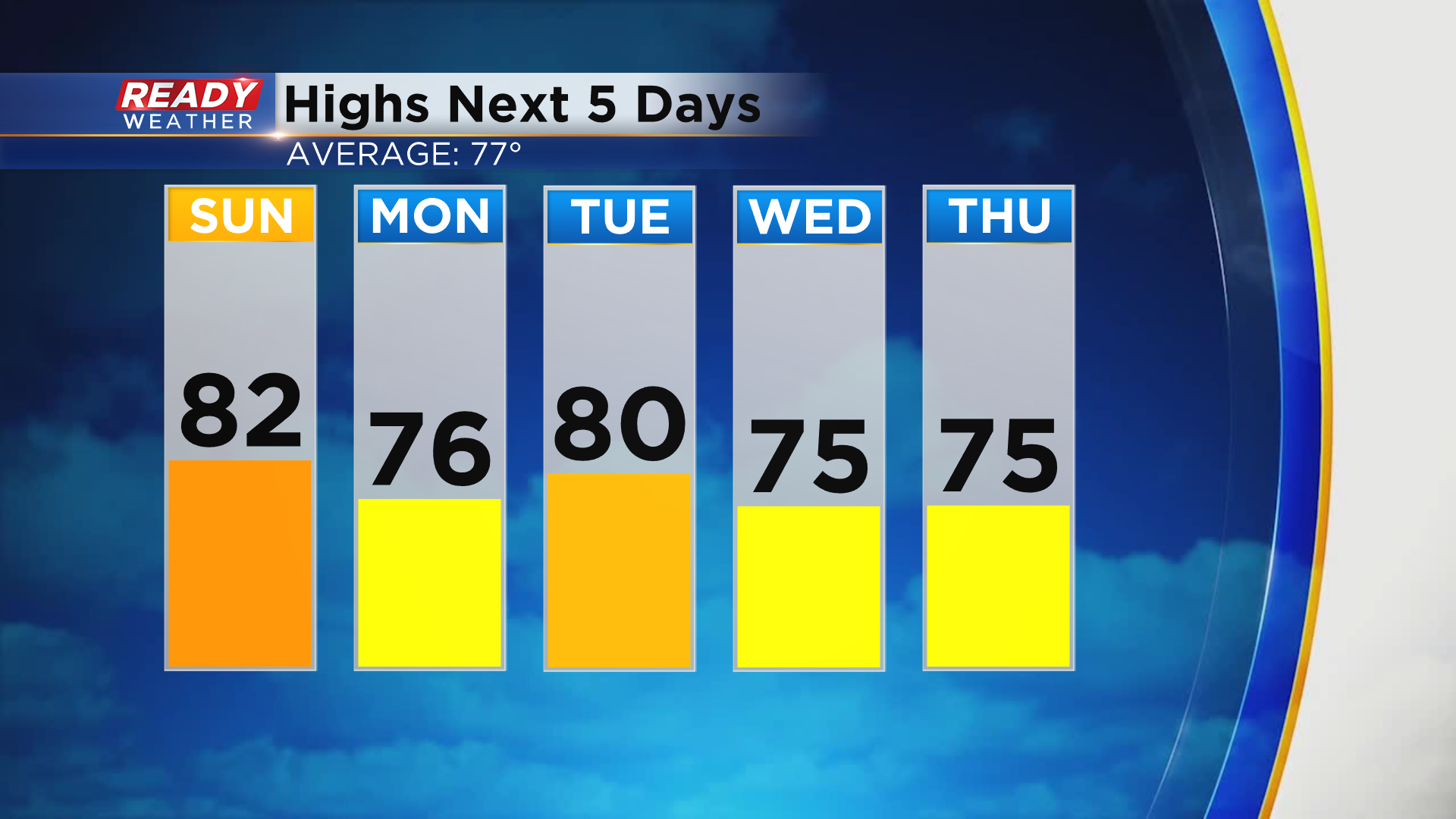
We'll start our Sunday with a ton of sunshine with a few scattered clouds popping up by mid afternoon ahead of a cold front. This front looks to pass through SE WI between 5-8pm. There's a small chance a shower pops during this window, but with the sun setting at 7:18pm we will have already lost a lot of the daytime heating by the time the front arrives. Best chance for a few of these isolated showers will be north of Milwaukee.
Cooler and drier air moves in behind this front for Labor Day with abundant sunshine expected and highs in the mid 70s. A better chance for storms returns on Tuesday with a cold front.
That's the only day this week you may notice the humidity, but cooler and more comfortable air will move in behind this front for the second half of week.
Download the CBS 58 Ready Weather App to see the full 7 day forecast.