Hot temps for the weekend, strong storms possible
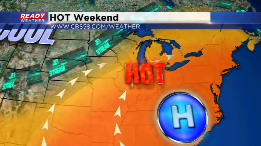
A hot airmass sets up around the Great Lakes and the East Coast this weekend sending above average temperatures into our direction. High temperatures are expected to track well into the 80s, and even 90s, in some locations on Saturday and Sunday. With dew points increasing into the 60s to near 70, heat indices would propel back into the mid and upper 90s.
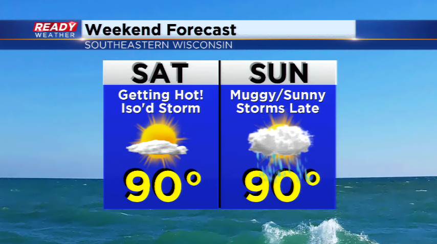
If we hit 90, we will go over our average threshold of 90 degree highs for the season already. The average is 9, and we are sitting at 9 right now. The last 90 degree high was back on July 13th, three weeks ago!
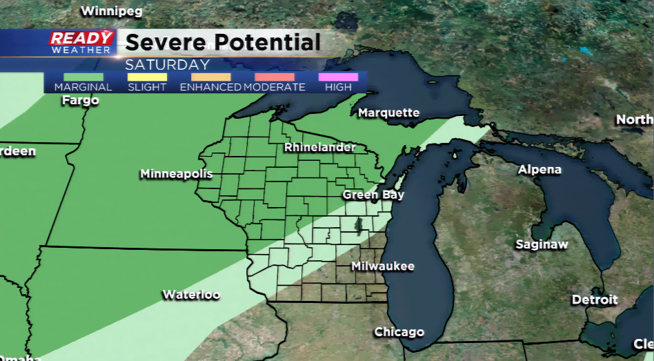
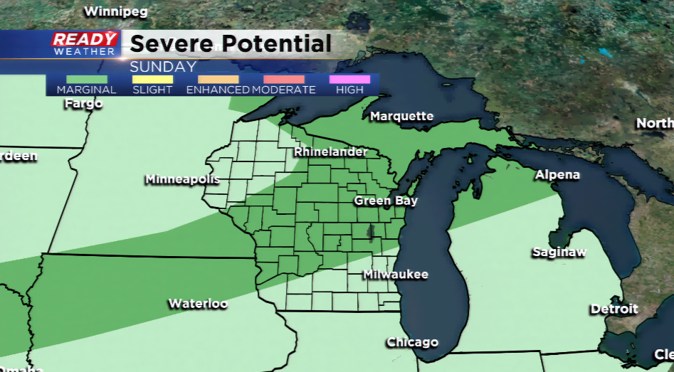
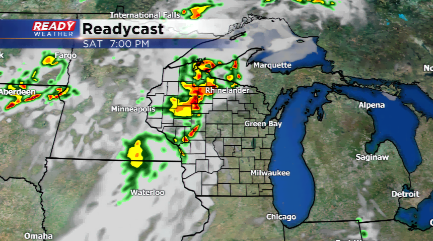
Storms could fire around the Badger State this weekend, especially in central and western Wisconsin tomorrow night. Some could try to spread into the western side of southeastern Wisconsin, but most will fizzle out before they get here. There’s a chance by Sunday could of these storms could turn stronger in the viewing area.
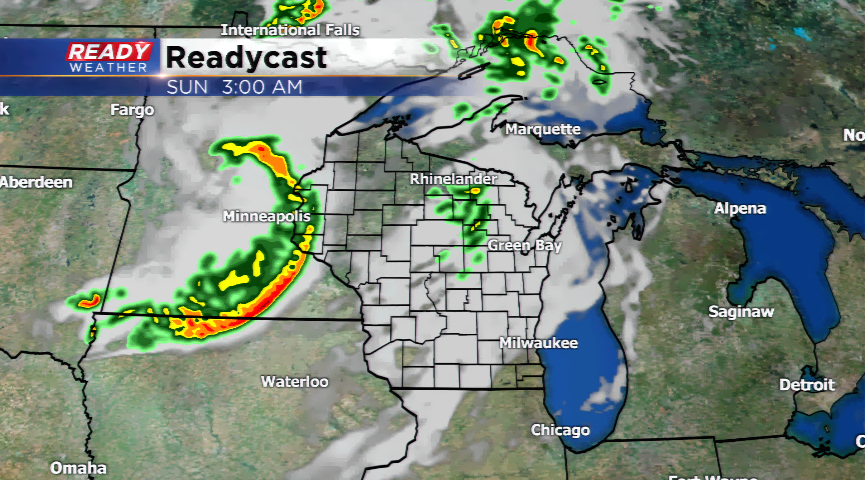
Both Saturday and Sunday feature *marginal* risk days for severe weather from the National Weather Service. Sunday is the only day it will edge into the northwestern corner of our viewing area. Highs will fall next week into the 80s, yet stay above average.