Severe Storms Possible.....Evening Update
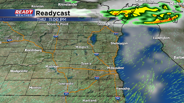
Evening Update: The latest computer models are now keeping the showers and storms tonight primarily across the northwoods. A wave of energy is now moving across northern Wisconsin with the bulk of the storms occurring well north of our area.
There is a chance that some of those storms build south; however, the severe thunderstorm watch is a good indicator of where the storms will likely track.
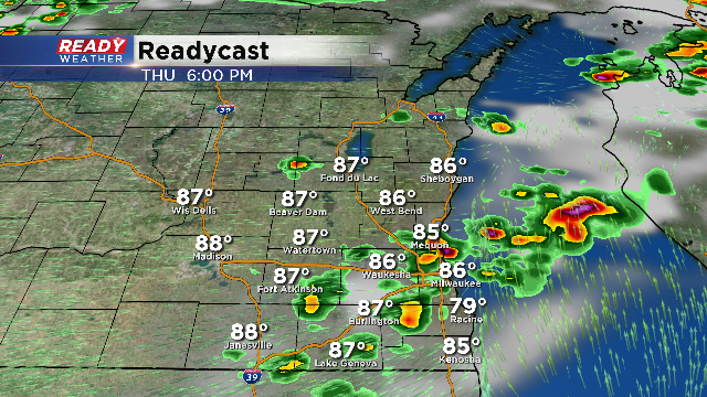
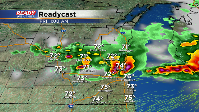
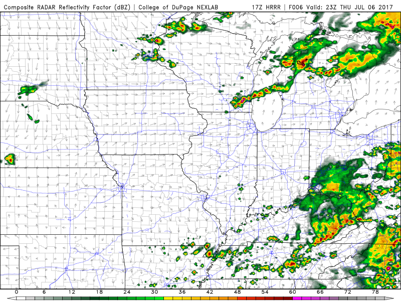
4 PM Update: The computer models continue to show two rounds of showers and storms for tonight. The first round could arrive between 5 pm and 9 pm. The second round will occur between 10 pm and 2 am.
Both rounds of storms have the potential to be strong to severe. No severe thunderstorm watch has been issue at this time, but we do anticipate one later this
All modes of severe weather remain possible, especially damaging winds.
3 PM Update: No watches or warnings have been issued at this point. The atmosphere remains very unstable, so any storms that fire could become strong to severe.
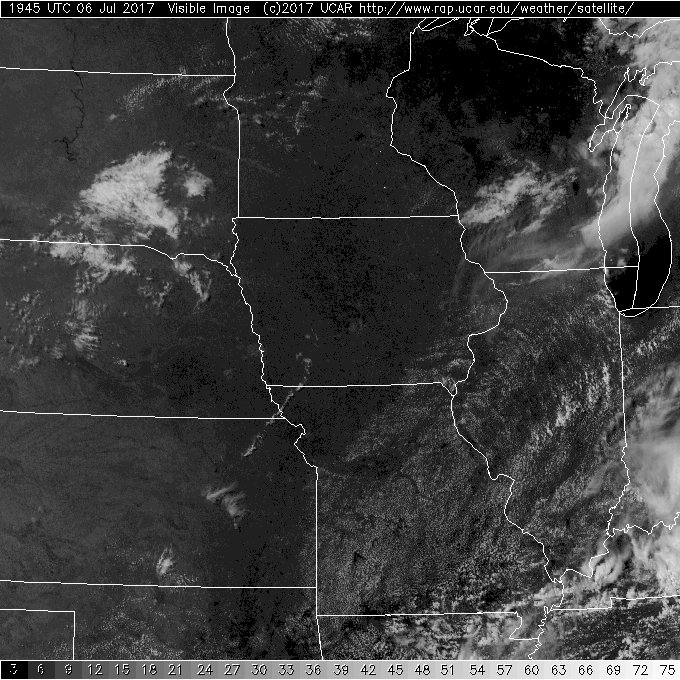
Take a look at the clouds across central Wisconsin. That bank of clouds represents a shortwave of low pressure aloft.
That shortwave will likely spark showers and storms this evening across SE WI. Additional storms will likely fire later tonight through 1 am or 2 am.
2 PM Update: The short term models are blowing up storms between 5 PM and 11 PM across SE WI. A few isolated showers and storms will develop ahead of the main line; however, the greatest severe potential will occur during the evening. All modes of severe weather are possible, especially strong damaging wind gusts and hail over 1".
We will continue to watch and monitor throughout the afternoon and evening.
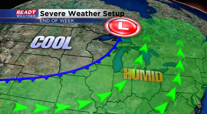
It turns hot and muggy today on the 6th of July. This is the summer season. High temperatures are expected to soar to near 90 degrees around much of the area with humidity levels high as well. These ingredients will help fuel showers and thunderstorms along a potent cold front later tonight.
The classic summer setup appears to be in view. A few showers and storms this morning to our north could keep some clouds around the area. The more sunshine seen today around the region, the better the chances are of severe weather. A strong upper-level disturbance with low pressure and a cold front will work together to blossom thunderstorms. The Storm Prediction Center has shifted the *enhanced* portion a little farther south on the update this morning while the rest of the region is in slight. The main threats that will accompany these storms will be damaging winds, large hail, and heavy downpours. With the low-level shearing environment and veering of the winds, a few tornadoes are possible around the Badger State.
The timing of the front is important in a setup such as this. Scattered thunderstorms could blossom ahead of the front this afternoon. The better chances of widespread storm development will be later this evening and tonight. The timing looks to be between 7pm-1am. Some storms could linger past this, but will likely weaken in intensity.
A cold front and upper-level trough will usher in cooler air tomorrow and for the weekend. The chance of a shower or storm is still possible on Friday.