Evening Update....New Severe Thunderstorm Watch Until Midnight
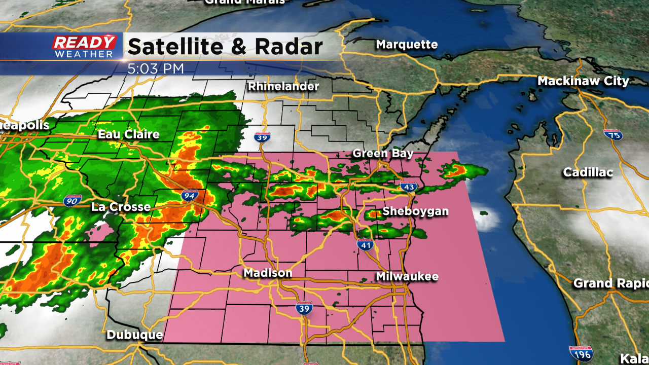
(5:00 PM Update) A new severe thunderstorm watch has been issued for the entire area until Midnight. Damaging winds, hail, and very heavy rainfall are expected. The timing still looks like between 8 pm and Midnight.
(4:00 PM Update) No real changes with scattered showers and storms expected to develop between 8 pm and Midnight throughout southeastern Wisconsin. As the storms move into a unstable environment, these storms could become strong to severe. The severe thunderstorm watch has been issued to cover some of the counties in western Wisconsin until 7 PM; however, across our area no watches or warnings exist.
(3:00 PM Update) 93 degrees again this hour in Milwaukee! This is the hottest day of the year, and our third consecutive 90 degree day in a row.
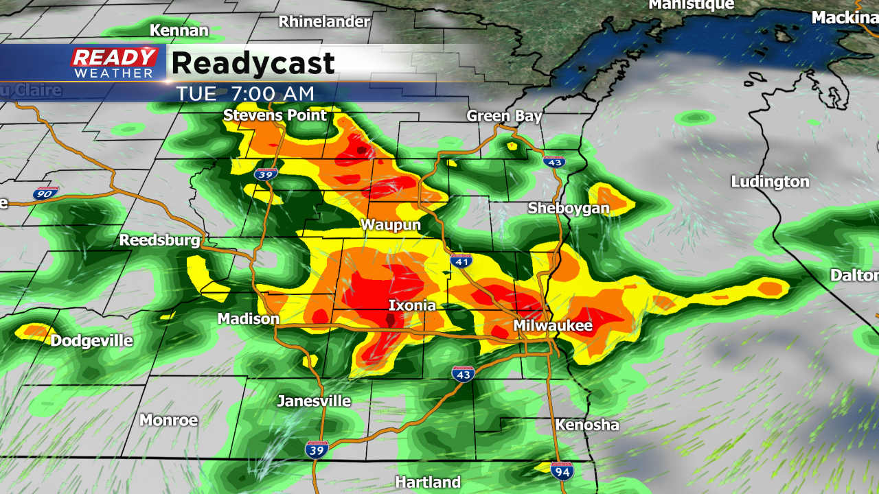
Scattered showers and storms are starting to fire along the boundary. The best chance for storms late this afternoon into the evening will be across Fond du Lac and Sheboygan counties. Our attention shifts to the west with an ongoing complex of storms in Minnesota. That complex will gain steam and move east to southeast overnight. If it turns right it could move across southeastern Wisconsin and produce some severe weather. The best chance for severe storms will be after midnight.
(2:00 PM Update) Hot and humid conditions exist across southeastern Wisconsin. Temperatures have spiked into the upper 80s and lower 90s with the heat index well into the 90s. That heat and humidity will eventually lead to explosive thunderstorm growth! No watches currently across Wisconsin; however, that will eventually change later today.
A boundary sitting across Fond du Lac and Sheboygan counties will become active with storms initiating between 3 pm and 5 pm. Most of the evening storms will remain across our northern counties.
More storms are expected to fire after midnight and move throughout the entire area by morning. Storms that fire will have the potential for quarter hail and damaging winds.
The Storm Prediction Center has now upgraded parts of our viewing area to a slight risk of severe thunderstorms. With the dropping surface boundary, expect storms to fire with the heating of the day and increasing humidity. The main threats continue to be large hail and damaging winds. An isolated tornado is possible, but the main threat will be downburst types of winds. Expect heavy downpours with any storm that develops later today.
The strong ridge will continue to hover around the Badger State keeping the heat locked in! Highs in the lower 90s are expected today with dew points once again well into the 60s. The “feels like” temperature with the humidity will drive into the mid and upper 90s. Minor cooling will take place Tuesday and Wednesday compared to the weekend and today with the lake breeze moving in as the winds switch more out of the southeast with the boundary dropping south. It’s not the cool down you’re thinking; highs still will be in the mid-80s around the lake and around 90 inland.
The atmosphere will be primed for thunderstorms the next three days, and it looks to be an active weather pattern in terms of the possibility with severe weather. There’s plenty of energy in the atmosphere with heat and humidity and a dropping frontal boundary. With an active jet stream and the surface boundary, heads up for showers and thunderstorm today and tonight. Some of these storms could be strong with gusty winds and heavy downpours. The Storm Prediction Center has mentioned all of SE Wisconsin under a marginal risk of strong to severe storms, and our extreme western counties under a slight risk. Both are considered level one and level two under criteria for severe weather, which goes all the way up to five.
The SPC makes a mention of SE Wisconsin in all three of its discussion for the next three days. Keep an eye to the sky and make sure you have ways of getting weather information. Have a weather radio at your home, and download the free Ready Weather App on your phone.


