From warm to cold, snow showers possible
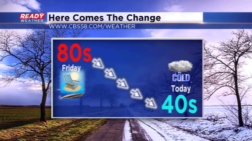
SOUTHEASTERN WISCONSIN (CBS 58) -- It’s hard to believe last Friday the high was 80 degrees. Even Saturday was beautiful with highs in the mid-70s. Guess what? You will have to wave good bye to that weather until next year as Mother Nature is knocking on the door with some changes.
Rain chances will continue for much of the day with most locations when all said and done will receive another 0.25”-0.50”.
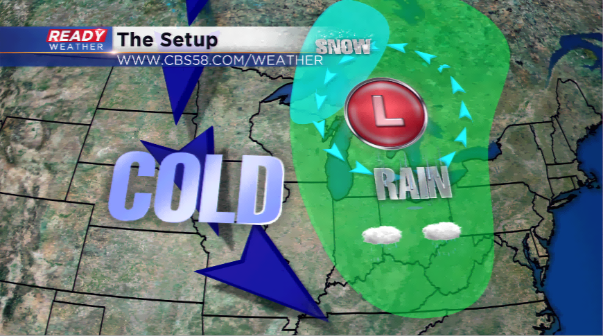
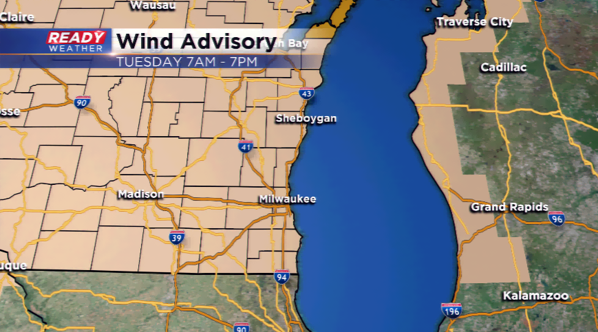
With a season-starting storm like we are staring at right now, it is usually accompanied with big wind. These are transitional months where the temperatures are like Ellis Island circa 19th century – there are 80s, and there are 40s for highs. This big dip in temperatures causes major weather shifts and a strong pressure gradient to develop. Anytime you hear a “strong pressure gradient” means the winds will be hollowing very strongly. A Wind Advisory is in play for all of Wisconsin because of this from 7 am today until 7 pm tonight. Winds could crank to over 45 mph in a lot of spots.
The wind blowing from the northwest is aiding the cool down that will be felt today. This season, the coldest day is 55 degrees, which was yesterday. Daytime highs will struggle to make it out of the 40s today, and several more days in the foreseeable future. Watch for Frost Advisories and Freeze Warnings this week as growing season will be coming to an end. Overnight lows will drop into the 30s, with outskirt areas in the 20s by the weekend.
We talked the wind and cold. Now the chance of snow? Don’t get bogged down with the idea you’re going to wake up with several inches of snow on the ground and you will need the shovel. These fall, transitional storms are very schizophrenic; they have very unorganized waves on the west side of the storm system where all of the cold air is.
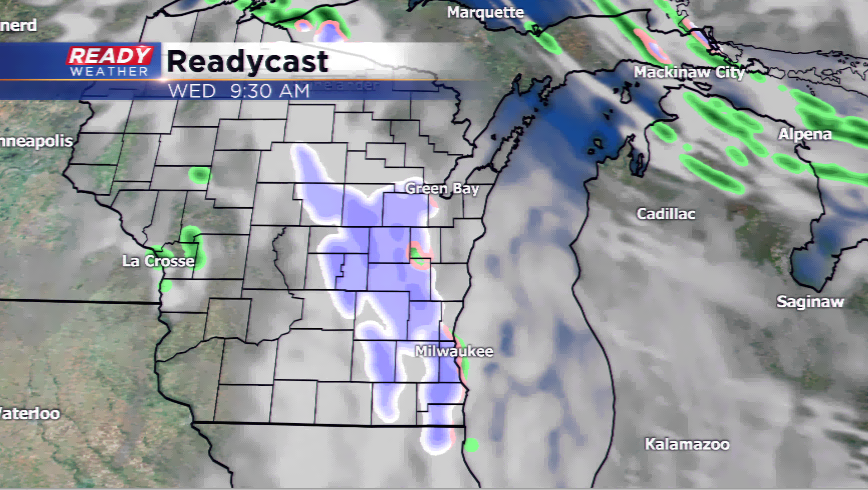
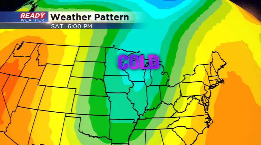
The timing for any type of a wintry mix would be later this evening and possibly tomorrow morning. More cold temperatures and perhaps a few flakes are possible this weekend.
