Chance for accumulating snow increasing to start the weekend


Our biggest snowfall of the season (which isn't saying much) is looking more likely for the weekend. The storm system we are expecting is currently located in Pacific Ocean just off the coast of Mexico. It is expected to move into the desert southwest Wednesday night and once it moves over land we will get a better handle on the track of the storm which will start to increase our confidence. As it stands the overall confidence in the storm is low especially when it comes to the storm's track and snow amounts. We do already have decent confidence in the timing of the storm and the precipitation type looks like rain to start then switching to snow.

The rain isn't expected to start falling until Friday afternoon so the Friday morning commute will be just fine. For the ride home from work Friday expect rain to fall and mix with snow at times.

One of the changes to the forecast is that Friday now looks like more of a rain/snow mix than just snow. That is especially true Friday evening and at night. Snow looks possible for most of Saturday.
At this point, accumulating snow looks possible for all of southeast Wisconsin. We may have a sharp cutoff across our viewing area where some locations get less than an inch and others see at least a few. If you have a snowblower I would make sure it's in working order and put those shovels and snow brushes in their winter spots.

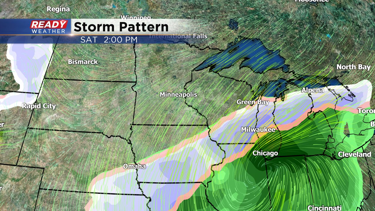
This storm will come with a strong NE wind gusting above 30 mph at times. That wind will push warm air into our lakeside communities giving us high uncertainty on the precipitation type and snowfall totals there.
Download the CBS 58 Ready Weather app to track the storm as it approaches the next few days.