Better weather, at least for a while, as we head into next week


MILWAUKEE (CBS 58)--So glad we're getting out of the weather pattern we've been in the last few days. Low pressure is moving off to the east allowing high pressure to take hold for a bit. Expect a mixture of sun and clouds during the weekend with highs mainly in the 40s and 50s.
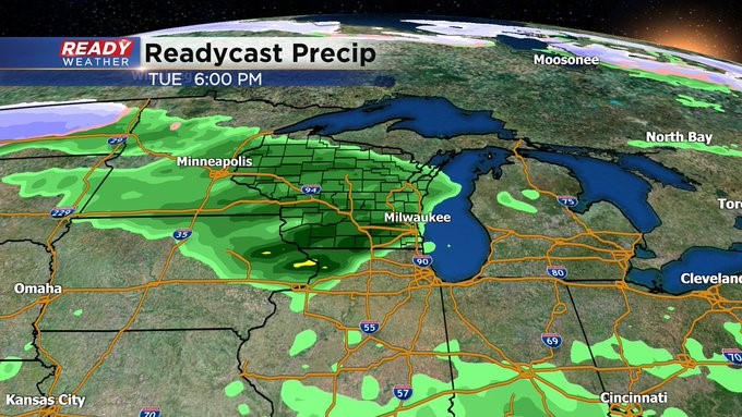
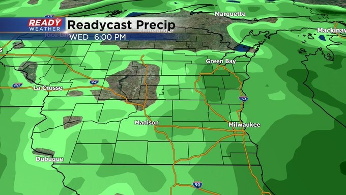
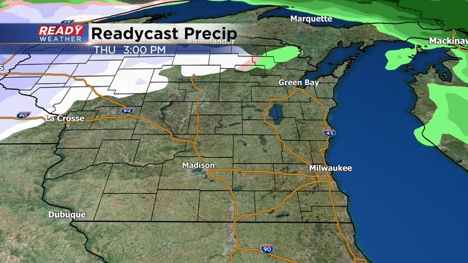
But unsettled changes as soon as Sunday night into early Monday morning as a warm front begins to lift to the north of our area. Look for scattered showers, maybe some thunder. But the bulk of Monday should be okay. Then it gets wetter again Tuesday afternoon as yet a stronger system pushes in from the Plains. This one promises to have more moisture and energy, giving us a chance of storms even on Wednesday. By Thursday, a strong cold front moves, and it gets cooler and more blustery just in time for the Brewers Home Opener. Highs then will be in the upper 40s to low 50s.