Active snowy pattern continues with another round Thursday


Most of southeast Wisconsin woke up to a fresh blanket of snow Wednesday morning as snow showers rolled in during the overnight hours. This was a very fluffy and powdery snow that was able to pile up easily. Northern counties reported 1-2" of snow while Milwaukee only reported a trace.

After snow for the morning commute the clouds move out and we see sunshine Wednesday afternoon. By Thursday morning the clouds have returned with another chance for snow. What was looking like a wintry mix for Thursday now looks like mostly snow from the morning through the afternoon. 7 AM to 3 PM looks like the best timeline there.
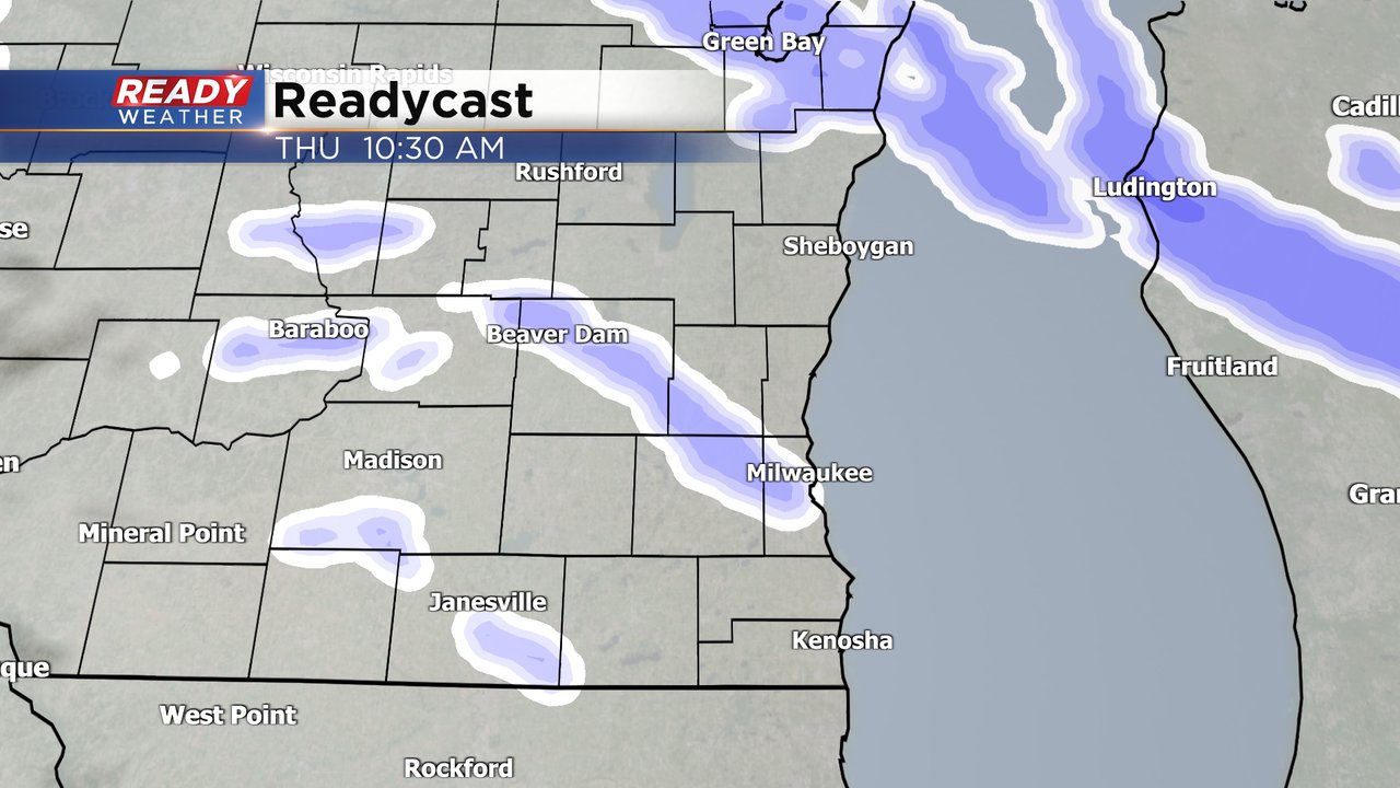
The snow on Thursday will be wetter than Wednesday so snow accumulation will stay less. Most of our local area will see a few tenths of an inch to a full inch of snow.

Another round of precip is looking likely for Friday into Saturday morning. Most of the precipitation on Friday will stay rain but some wintry mix could mix in at times. By Saturday morning the rain has switched to snow with some accumulation possible.

A winter storm watch has already been issued for parts of western Wisconsin, Minnesota and Iowa. A narrow band of snow over 5" will be possible in these areas on Friday. As we stay on the warmer side of the storm most of our precipitation will be rain but some of our northern counties like Dodge and Fond du Lac have the best chance for some accumulating snow.

Download the CBS 58 Ready Weather app to track the snow and messy weather through the end of the week.