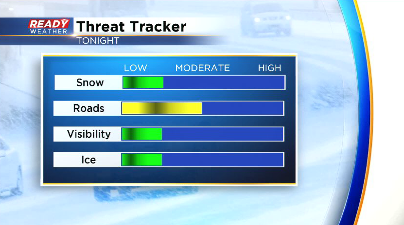
We continue to track a rain/snow mix for later tonight


Clouds are increasing this evening ahead of a little light rain/snow mix. This mix will move into western spots after 10 pm and will exit the area between 2-3 am.
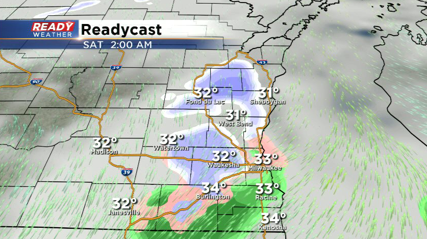
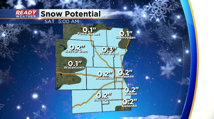
We'll likely have a solid rain/slush mix from Milwaukee to Kenosha, but areas north of Milwaukee could see the mix transition to all snow overnight. Only a coating of slushy snow is expected with the best chance of accumulation coming north of Milwaukee.
This could make roads a little slushy/slippery during the overnight hours, but temps will be rising above freezing Saturday morning which will help any snow or ice melt.
Another system will track through the state late Saturday night into early Sunday morning, which could bring a few isolated, light rain/freezing rain showers to the area. However, the brunt of the precipitation will remain in northern Wisconsin.