First Snow of The Season in The Books; Now onto The Cold
You knew it had to happen. The first "significant" snowfall of the season. The amounts generally ranged from 1 to 3 inches, but some spots picked up more. Madison, in fact, collected a record 5.7" of snow. Janesville was right behind at 5 inches. Milwaukee saw 1.8" of snow.

It looks like the next best chance of snow for everyone will be Saturday. It's still too soon to talk about amounts, but it could be similar to what we saw on Sunday. Stay tuned to the CBS58 Ready Weather team for updated forecasts throughout the week.
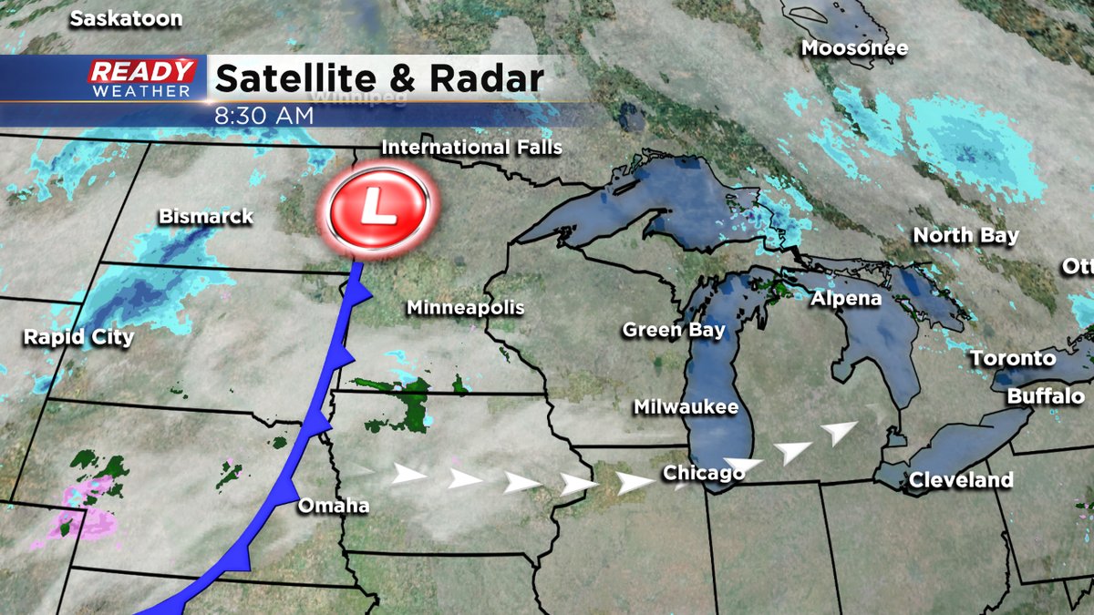
Meantime, the big talker will be colder temperatures by midweek. An Arctic front will move through Tuesday afternoon, dropping readings by later in the day.
Highs both today and Tuesday will be around 40. But highs on Wednesday will struggle to get to 30 degrees.

And then highs Thursday and Friday will only be in the 20s. And believe it or not, a stronger cold front will give us highs only in the low 20s by the middle of next week. Lows at night during this time will be in the single digits or teens.
Please make sure to download the free CBS58 weather app. You can send us your snowy photos from Sunday. If we pick your pic, you could win a free AcuRite weather station. We have four more to give away through the holidays. We chose one winner Friday night at 10pm on CBS58.
