Finally getting back on track with sun, temps
-
2:08
Schlesinger’s Saturday Showcase (1/3)--Mulchfest, bonding w/nature,...
-
2:27
Few bouts of precip coming as we await on an impressive warmup
-
1:11
Wauwatosa West High School to be featured on CBS Saturday Morning...
-
2:30
New tow ordinance in effect: Milwaukee will tow habitual parking...
-
2:17
Milwaukee free healthcare clinic braces for high demand as ACA...
-
0:52
Packers starting QB has unique connection with the team
-
2:47
’I’m surprised it’s this low’: Travel gets cheaper as...
-
2:55
Wedding barn restrictions take effect in 2026, but some lawmakers...
-
1:11
Winter sports enthusiasts hit the slopes at Little Switzerland
-
1:02
Wisconsin Humane Society offers tips to enrich your pet’s life...
-
2:06
Man charged in hit-and-run death of Watertown father bound over...
-
0:52
Children rescued from house fire in Milwaukee’s Harambee neighborhood
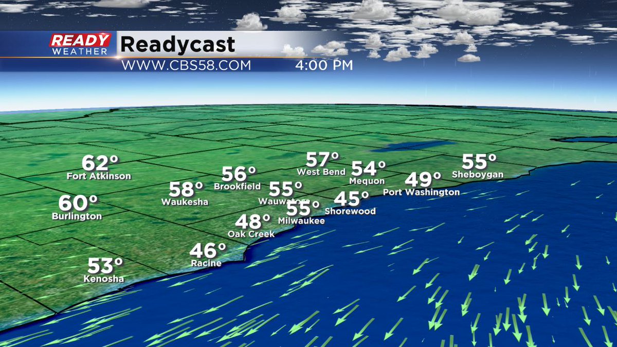
Milwaukee (CBS 58)--Certainly we didn't have one of the prettiest weekends weatherwise. It wasn't horrible either. Now, we look ahead to better weather, at least for a while. Expect a few nice days on Monday and Tuesday before unsettled changes come by Wednesday and really last into next week. By the way, the winds will still be onshore Monday. This means cooler by the lake and warmer west. But at least we get sunshine back in the forecast.
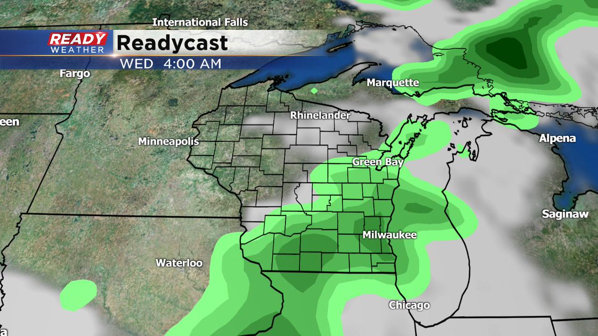
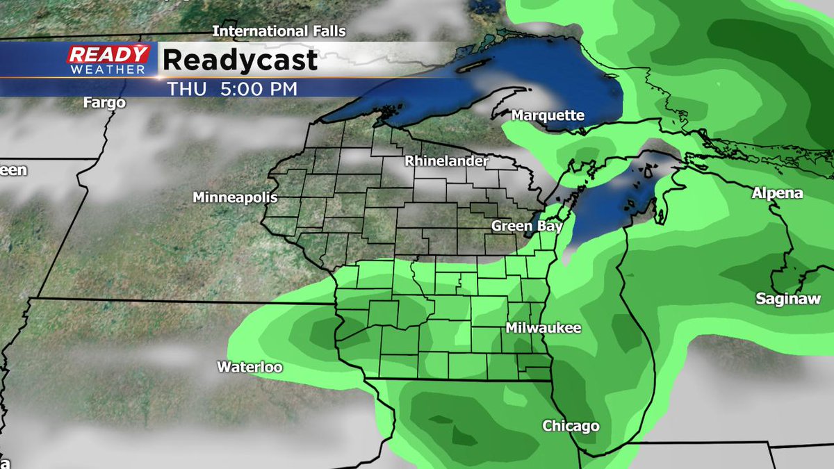
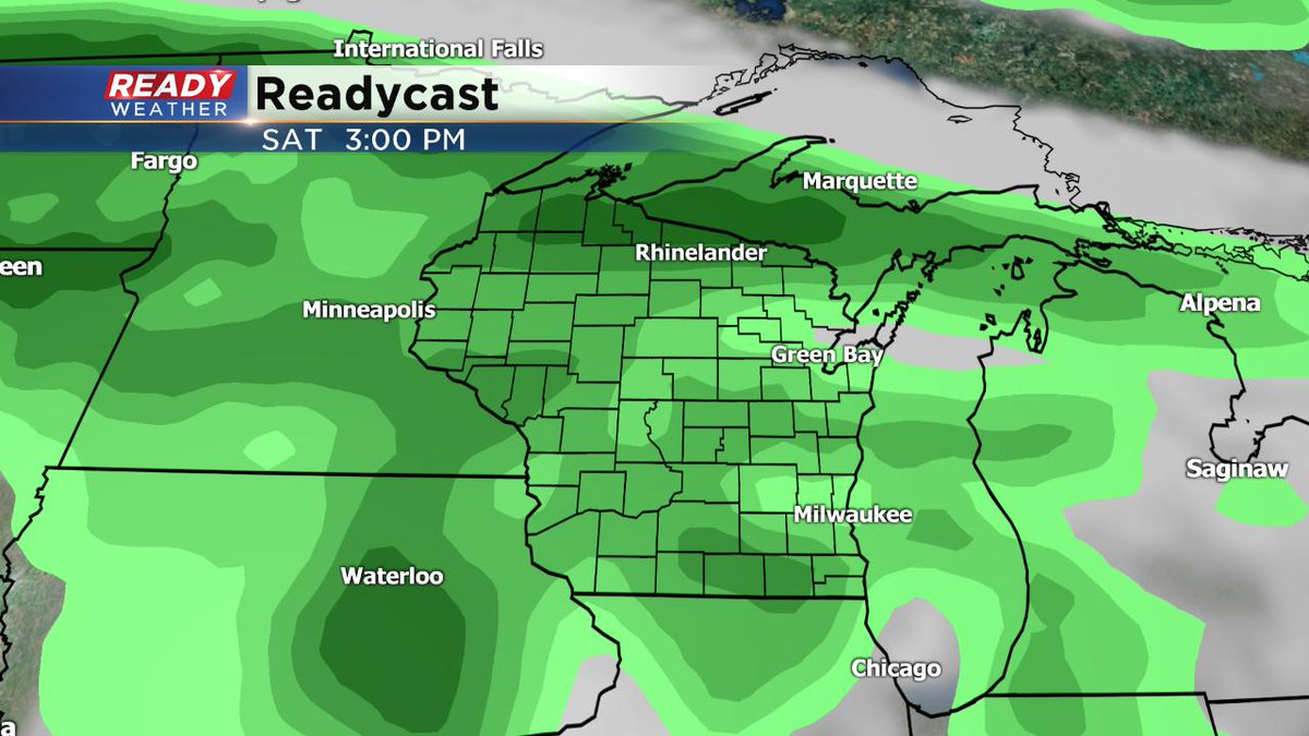
A quick-moving system will pass through late Tuesday into early Wednesday, giving us a chance of showers and thunder. Another front crosses the area Thursday afternoon, renewing the chance for showers and thunderstorms. Then a stationary boundary sets up across the area for the weekend into next week. This means a continuation of showers and thunder activity. There will be dry times, but you'll need to keep the umbrellas handy.