Multiple chances for strong to severe storms this weekend


The upcoming weekend will feature multiple chances for showers and storms and some of them could be severe at times. The first chance rolls in Friday with some showers Friday afternoon and early evening then some rumbles of thunder and a few downpours in the late evening and overnight hours.

The strong to severe storm potential for Friday is not great locally. Well to our west there's a good chance for severe storms and locally southwest Wisconsin is under the Level 1 Marginal Risk.

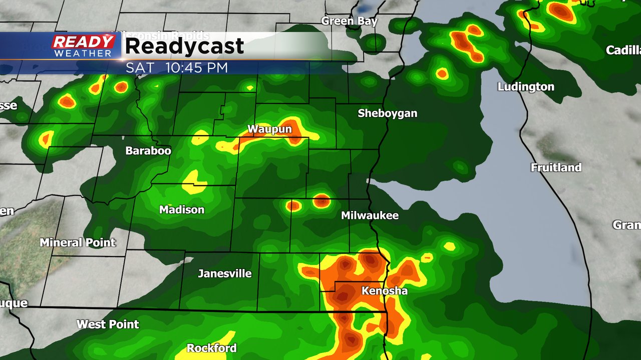
Saturday's rain chance has the most uncertainty. A lingering shower or storm could still be out there when you wake up Saturday but then the rest of the morning and afternoon look pretty dry. The chance for evening storms is in question. We have a lot of energy for storms to work with but some questions if there's enough force to push them into the atmosphere. Any storms that do form Saturday evening would likely be on the stronger side.
All of southeast Wisconsin is in the Level 2 Slight Risk. All types of severe weather are possible with strong wind, hail, some street flooding and even the potential for isolated tornadoes is there.

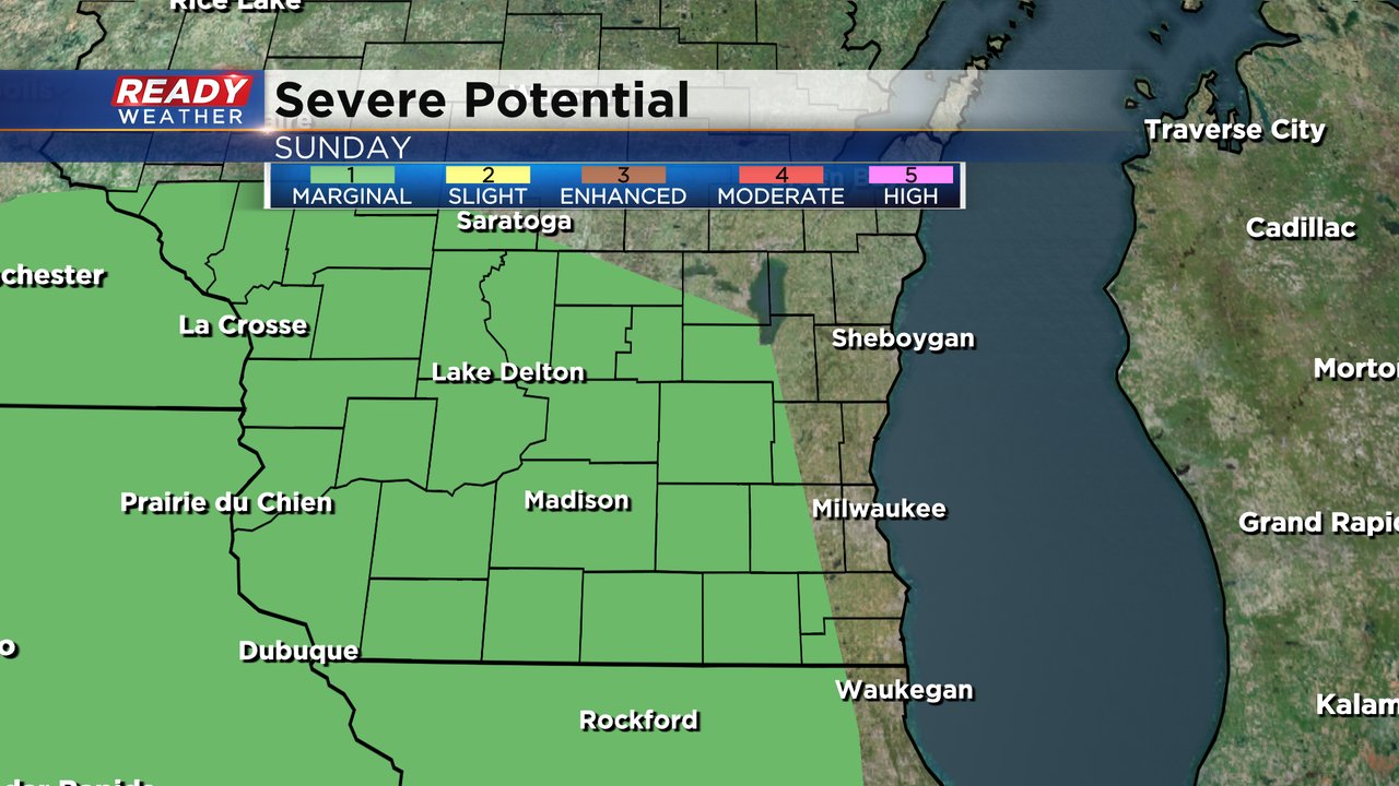
More showers and storms are likely on Sunday and this could be our best chance for a wet day most of the day with scattered rain likely. A few isolated strong storms are still not out of the question with our western counties currently under a Level 1 Marginal Risk for strong storms.
Rain totals for the weekend have come down a bit but a soaking rain looks likely A half inch of rain is possible Friday with another half inch both Saturday and Sunday. Most communities locally will see at least a half inch of rain by the end of Monday. Some could get as much as 1.50" with isolated locations that see multiple thunderstorms getting over 2".

Download the CBS 58 Ready Weather app to track all the storms and get alerts if watches or warnings are issued.