Strong storms could produce hail overnight

-
1:29

MPD honors officers at semi-annual Merit Awards
-
2:34

Waukesha breaks ground on newest, largest parade memorial
-
1:24

Novak Manor permit approved to return this Halloween season
-
2:20

Racine County results show why Biden seeks to secure Black voters’...
-
2:03

Families spending more on child care than housing, study finds
-
1:55

Organizers roll out summer plans for the City of Festivals
-
1:53

Police motorcycles head to Washington D.C to honor fallen officers,...
-
0:53

Souls to the Polls calls for investigation into alleged disruption...
-
0:44

UWM chancellor on campus protests: ’If the encampment doesn’t...
-
1:02

Spring wind
-
1:29

MATC’s annual plant sale returns Saturday, proceeds to support...
-
2:38

Confirmed tornadoes from Tuesday’s Severe weather outbreak

The storm prediction center has taken away the slight risk for the northern part of our area. A marginal risk remains in place. The timing for the strong storms will be from Midnight until 4 am.
The greatest chance for a strong or an isolated severe storm will be across Sheboygan, Fond du Lac, Dodge, northern Washington, and northern Ozaukee counties. The main threat within the slight risk will be hail. Strong gusty winds will also accompany the strongest storms.
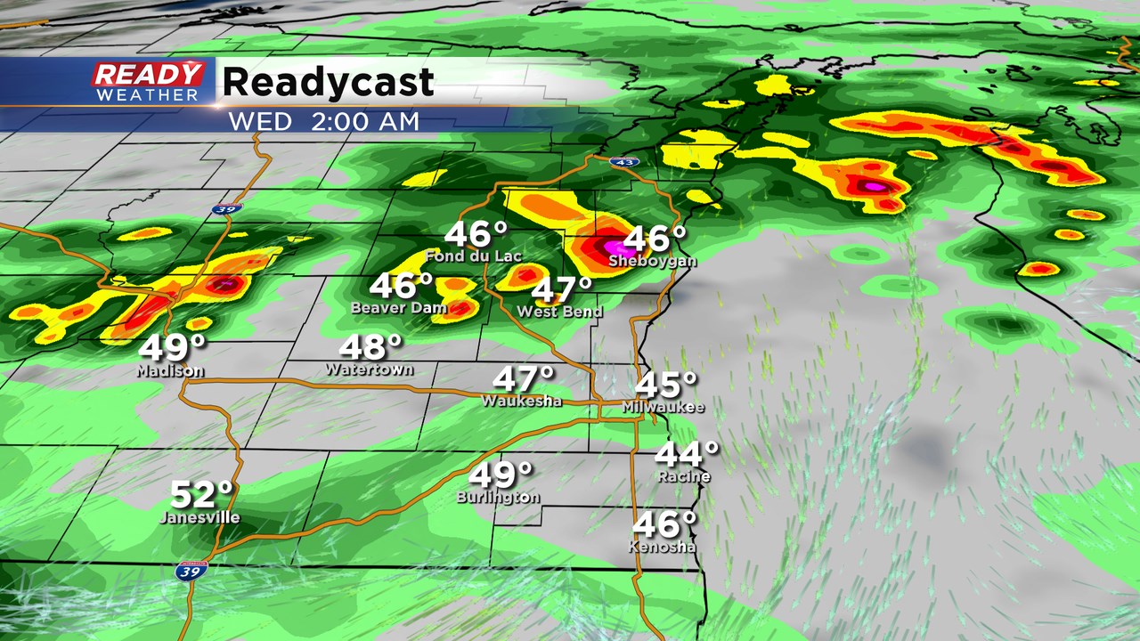
These storms will be elevated in nature, so the chance for a tornado is very low. Elevated storms near warm fronts tend to produce hail. Even tough the surface temps will be cool, hail aloft is still very possible.
The line of storms will push south overnight with a minimal chance for a strong to severe storm near the Milwaukee area overnight.