
Get ready for some storms followed by intense heat & humidity



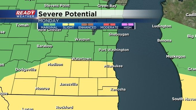
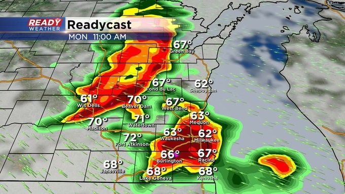
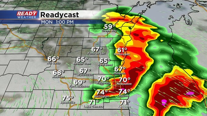
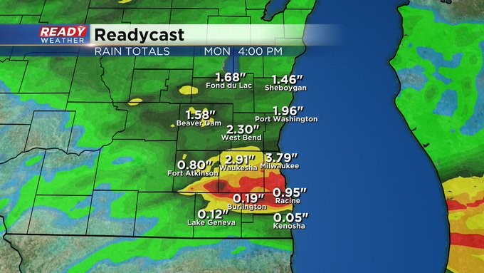
MILWAUKEE (CBS 58)--Mother Nature might be a little early this time around. Summer doesn't officially start until June 21st, but you'll feel it by Tuesday and Wednesday. Highs then will be in the 90s with heat indices more than 100 degrees! But before the heat arrives, a warm front will lift northward later Monday morning into the afternoon, triggering strong to severe storms. In fact, the area is under a slight risk for severe weather. Large hail and damaging winds would be the biggest threats.
The heat will break for Thursday and Friday thanks to a stronger cold front moving through late Wednesday night. This system could be more storms to the region into Wednesday evening.
Please be careful with this intense heat on the way. Pace yourself, drink lots of water, and make sure the pets are hydrated as well. Make sure your A/C is working, or you find a cool place to stay. Remember to check on the elderly as well.