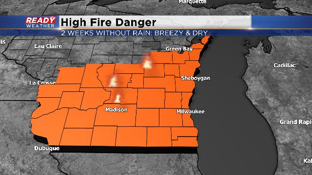
Dry, Breezy Weather Leads to High Fire Danger


According to the latest data from the DNR, the entire viewing area is under a high fire danger. Currently, three wildfires are in progress.
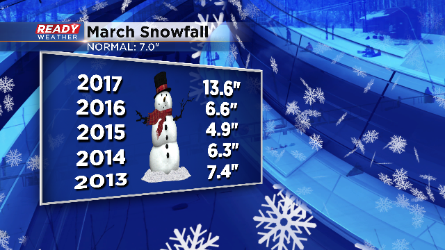
We're three weeks into March and have only had measureable precipitation on two days. On the 5th we picked up 3.4" of snow followed by another .6" the following day. That gives us a grand total of four inches of snow on the month. The average for the month is seven inches. Here's a look at the last five years of snow in March.
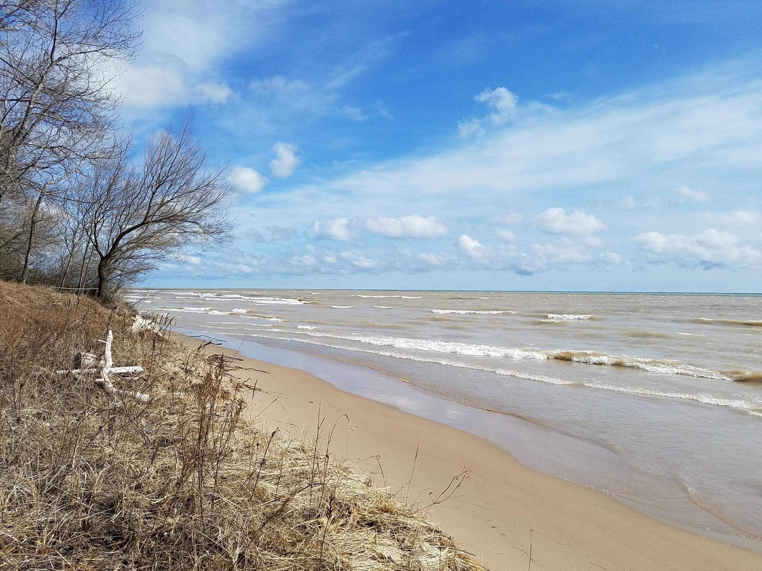
But the weather has made for some nice skyskapes, like this one taken along the shore of Lake Michigan this morning.
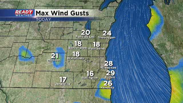
The good news is that the wind eases starting tonight. It should stay rather light over the next couple days. Plus, there's a small chance for some wet weather on Saturday. Right now is looks to impact just southwest parts of the viewing area.
I'm meteorologist Rebecca Schuld