Clouds and possible rain from Irma to hit Wisconsin
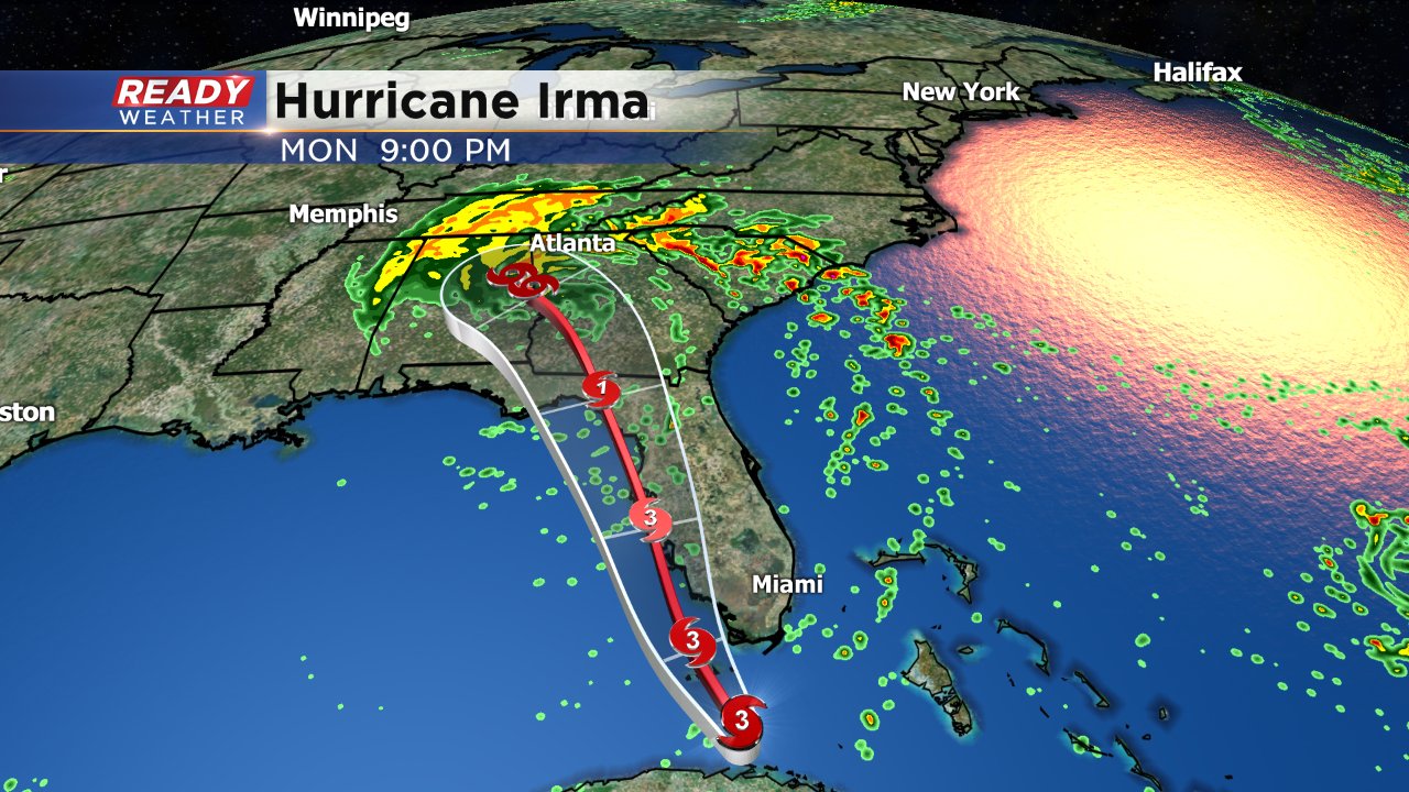
Hurricane Irma continues to devastate Florida with wind gusts over 100 mph across much of the peninsula state. Hurricane Irma hit the Florida Keys Sunday morning as a category 4 hurricane with sustained wind of 130 mph before weakening to a category 2 when it made another landfall in Marco Island. The latest track has the storm continuing north and hitting Tamp as a high end category 2 or low end category 1 hurricane Sunday night. The storm arrives in southern Georgia as a category 1 hurricane by Monday morning before continuing through the state as a tropical storm. The full track has the remnants of Irma making it into the Ohio River Valley before dissipating.
Depending on the size of Irma when it arrives in the Ohio River Valley Wisconsin will see at least a little cloud cover. A few models are starting to trend even farther north with Irma's remnants which means that a few rain showers may even be possible as far north as southern Wisconsin on Wednesday.
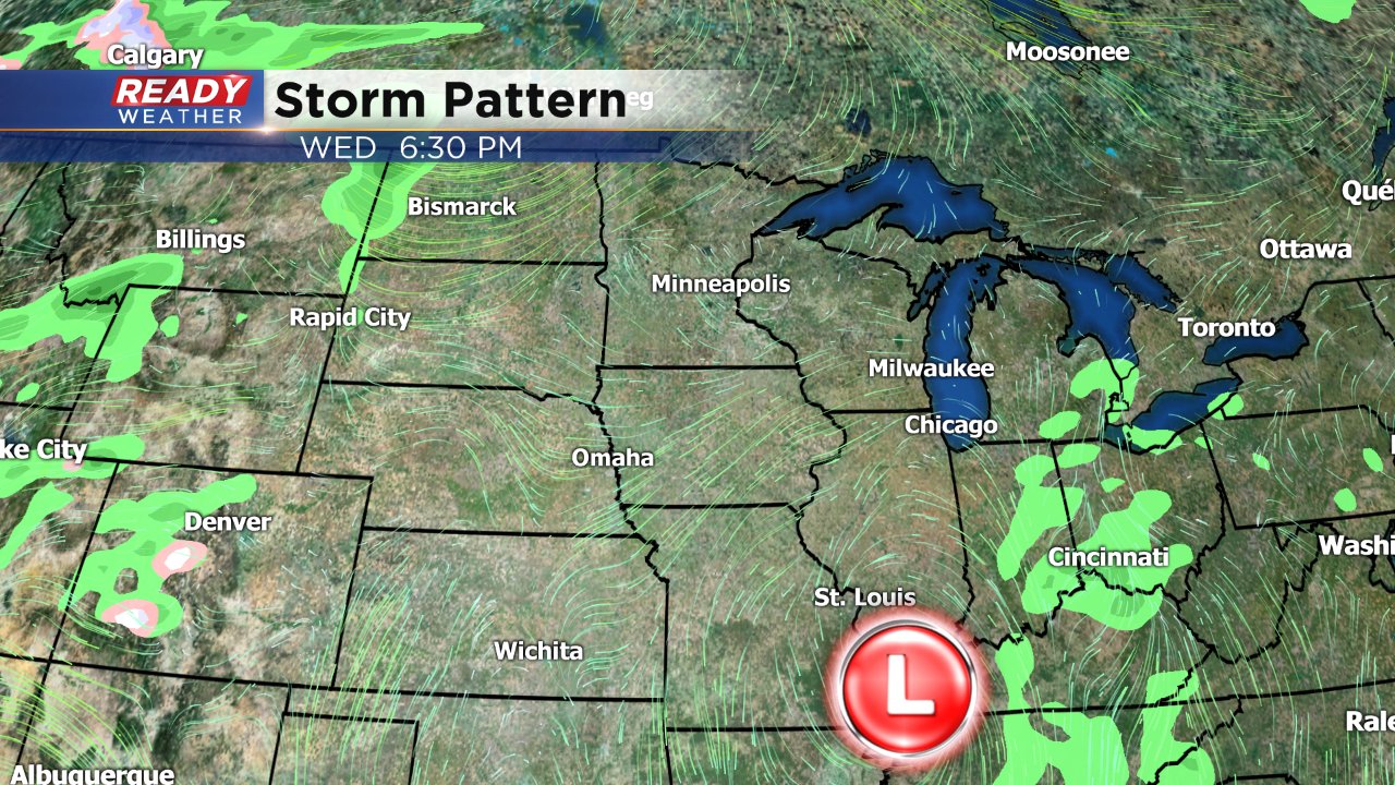
If we do see showers from Irma, they won't last long and by Thursday the sunshine returns.
You can continue to track Irma on the CBS 58 Ready Weather app using the Interactive Radar.
