As 80s Streak Continues, Strong Storms are Possible
A high temperature of 85° on Saturday makes it the 16th day in a row at or above 80 degrees!

Temperatures on Sunday are forecast in the upper 80s near 90° so it is almost certain we will tie for second. Monday's forecast gets a little iffy with cooler air returning to Wisconsin. Current forecast on Monday is a high of 80° so it will be close. If we make it to 80° we will hold second place by ourselves, but the record streak of 22 days from 1921 looks to stay in place.
As temperatures really heat up on Sunday and humidity returns our chances for thunderstorms returns as well.
One round of storms will be possible Sunday morning, mostly before sunrise, but a few showers and storms may linger to late morning. The chance for morning storms is split, about half of the weather models we look at have storms developing, but others do not. An isolated stronger storm may be possible Sunday morning but widespread severe weather is not expected.

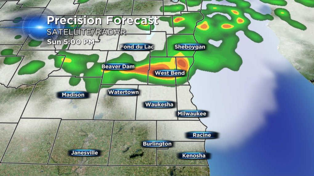
The second round of storms looks interesting. Almost every weather model consistently places storms firing along a cold front swinging southeast through Wisconsin. Timing for these storms looks to be after 6 PM leaving the area around 10 PM.

This second round will likely form as a line which means the most significant threat will be damaging wind, although some small hail may be possible.

Sunday's thunderstorms will give us a little rainfall, but it will be nothing to quench the thirst of a monthly rain deficit over two inches.