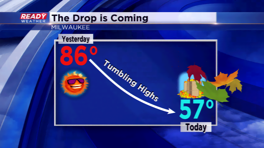
Tumbling temps today, rounds of rain coming
Yesterday’s high of 86 degrees tied the record high set back in 2005. Today’s temps will be much different behind a cold front. The windy conditions will usher in daytime highs only in the 50s, only the third time this season we have had afternoon temperatures in the 50s. Expect winds out of the west-northwest to stay gusty in the 10 to 20 mph range.
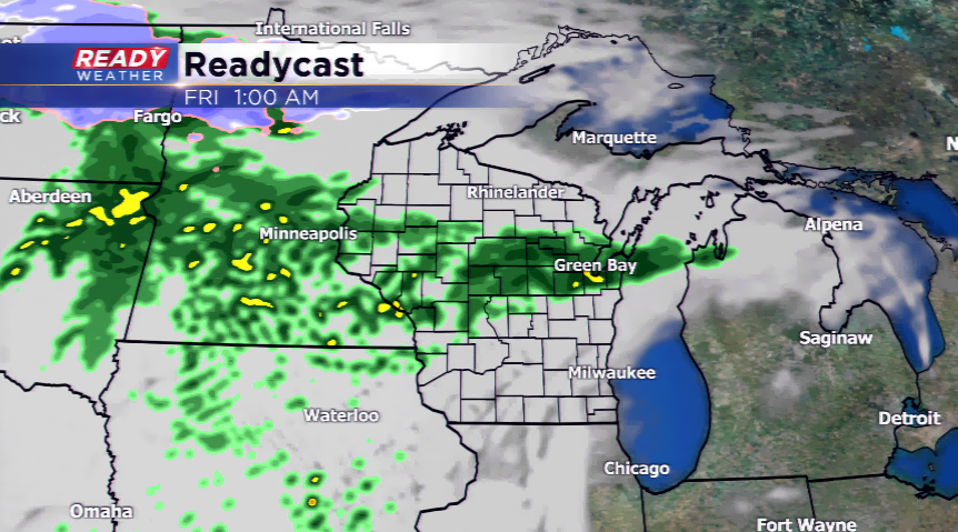
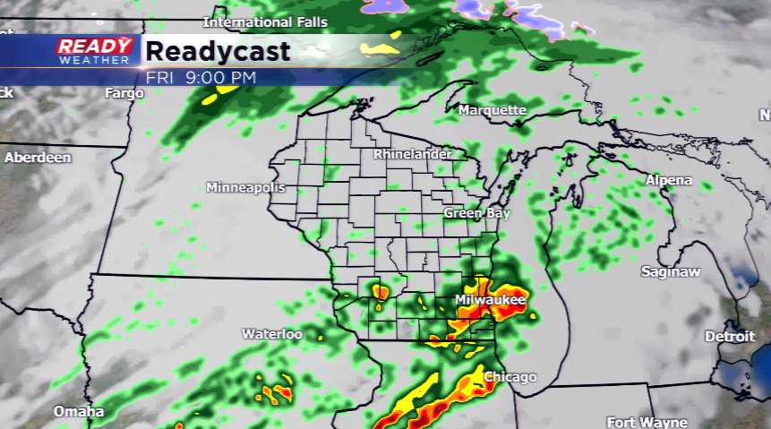
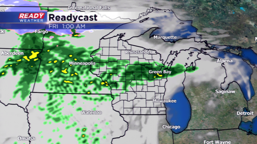
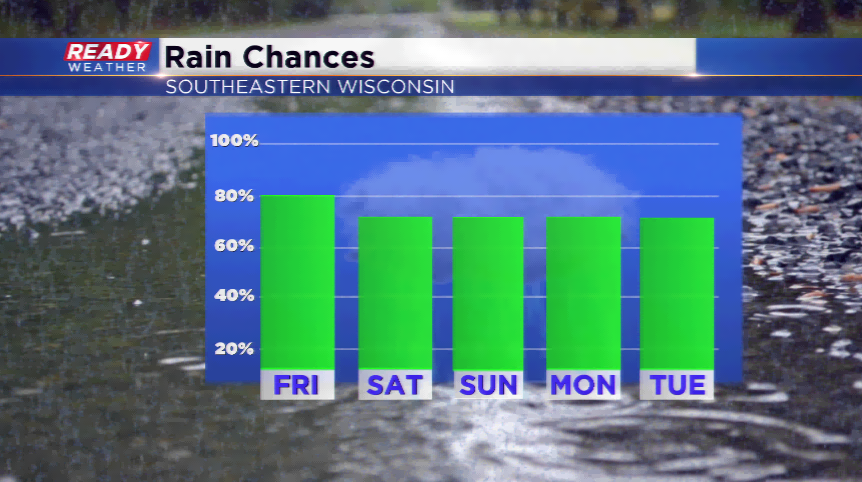
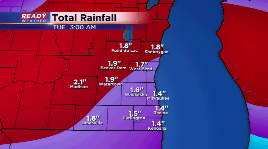
Several waves of showers and thunderstorms will be on the way the next few days. The rounds of rain will start again late tonight and early tomorrow, and then another round for late Friday night and early Saturday. The low level jet will crank in nocturnal rain, heavy at times a number of times this weekend. The following round of active weather could roll in by Sunday night and into Monday. The rain totals through early next week could jump into the 2”-3” range. It looks too warm in Wisconsin for any snow. However, snow could fall in parts of the Dakotas and Minnesota.
With the active weather come warmer temperatures for early next week. Monday, Tuesday, and Wednesday could all bring highs into the 70s.