Strong to severe storms possible on Sunday

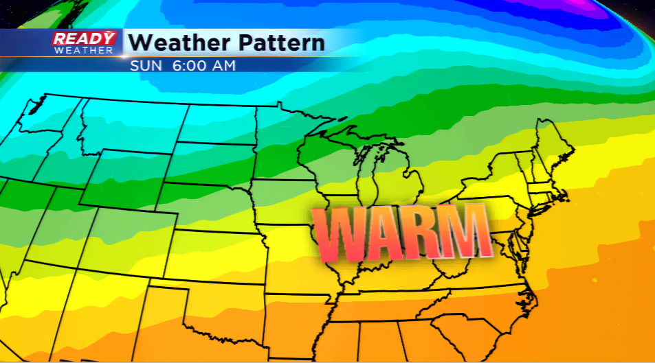
Remember when I told you over and over again how it was the coldest Halloween in over two decades? Do you want a break from the 40s and chilly air? It looks like we get that, but it comes with a price.

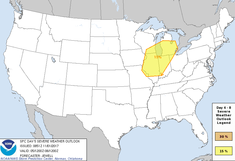
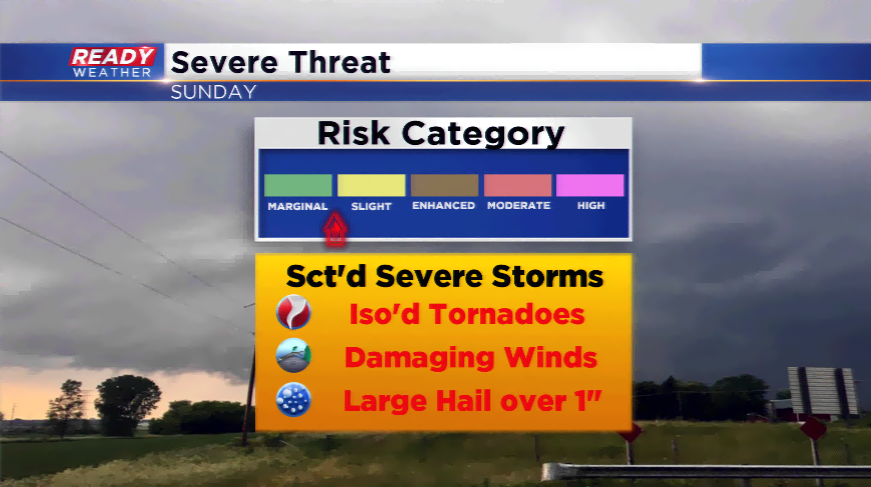
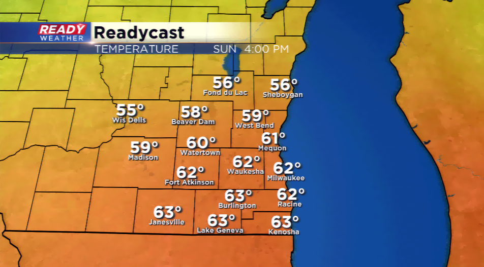
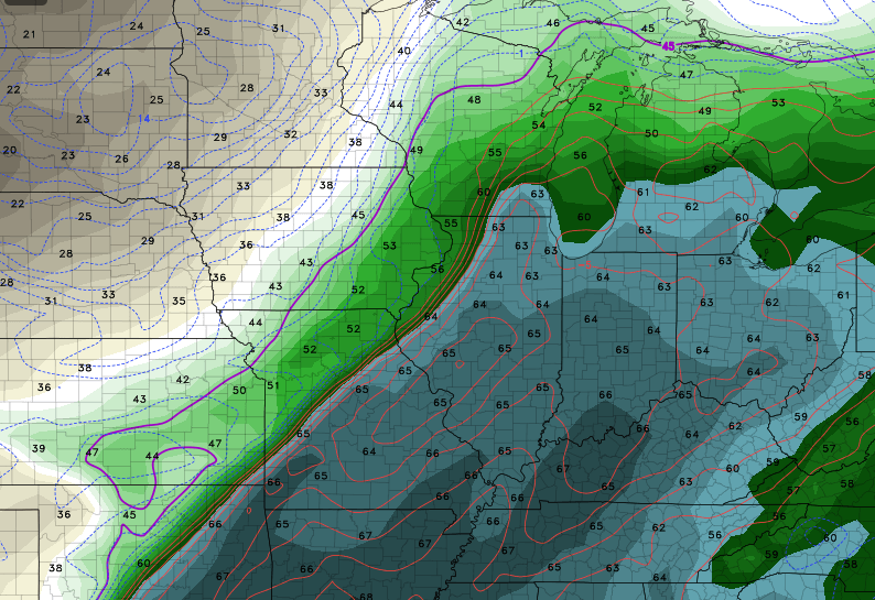
A late-season severe weather setup is possible on Sunday as warm air flows in along a front. Low pressure will churn in giving way to showers and thunderstorms. Throughout the day, the dynamics could improve as higher dew points stream in.  Computer models are indicating most locations in southeastern Wisconsin drive into the 60s.

  The big uncertainty is the cloud cover; computer models are indicating higher percentages of clouds during the day, which could also kill our chances for severe.
If any thunderstorms develop that turn strong to severe, the main threats will be large hail and damaging winds. However, with the turning in the atmosphere,
tornadoes cannot be ruled out.

The SPC

does have the region under an area to watch for severe weather on Sunday. This could mean by Friday, the viewing area could be under a marginal or slight risk for severe weather to end the weekend. If you have anything planned outdoors on Sunday, make sure you have ways of getting weather information.

Share this article: