Strong Storms Wednesday Morning

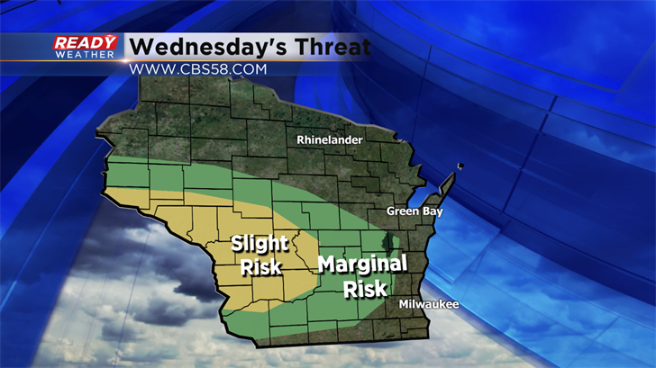
Scattered showers and storms are expected to develop to our northwest tonight. We will remain dry for the evening; however, showers and storms will move in for the morning commute. Some of the storms could be strong as they roll across southeastern Wisconsin. Notice the risk area above. The greatest chance for strong to severe storms will sit closer to La Crosse.
Our western counties are under a marginal risk for a strong to severe storm. I feel everybody will see a chance for strong gusty winds and very heavy rainfall for the morning commute. Many areas will pick up over an inch of rainfall in a short amount of time.
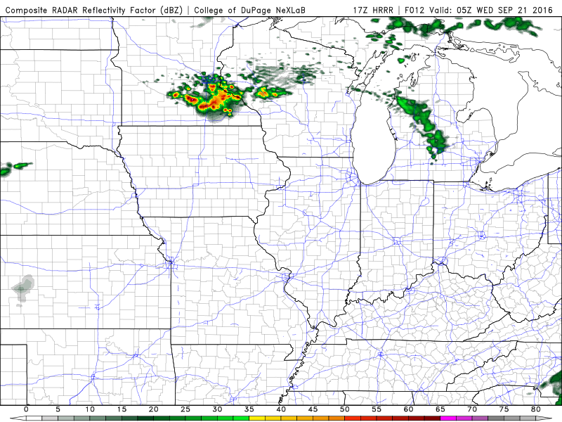
The low-level jet will become active after sundown. That ribbon of air around 5,000 ft will interact with a front near southern Minnesota. Showers and storms are forecast to blow up tonight where that intersection occurs.
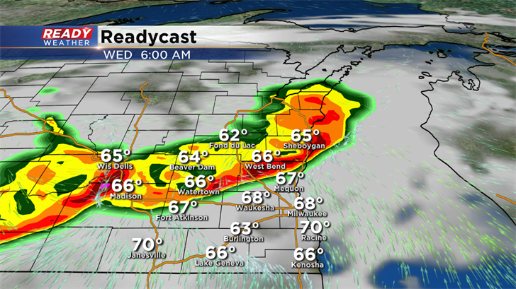
Storms will propagate southeast along the boundary, and that should take them across our viewing area between 4 am and 10 am. Additional showers and some storms are expected on Wednesday, but the greatest concentration for storms will remain during the morning.
Check the CBS 58 Ready Weather App for the latest radar as you head out on Wednesday! You can also get watch and warning information on your phone.