Several rounds of heavy rainfall and severe weather possible over the next 24 hours
Over the last 24 hours Washington and Ozaukee counties were pounded with 5" to 9" of flooding rainfall. The humidity that makes these storms possible hasn't gone away, so more rain and storms with flood potential remain possible through Wednesday morning. Another 1" to 3" of rain is expected across the area.
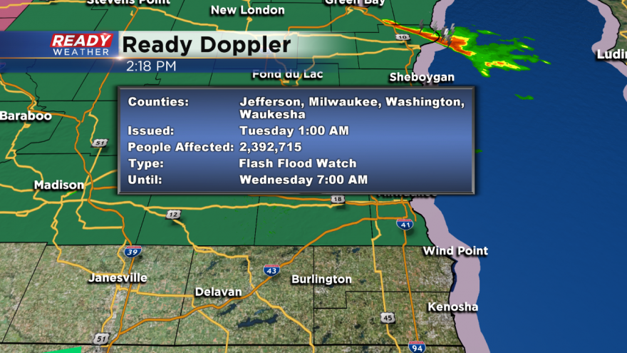
A flash flood watch is in effect for all of our area except Walworth, Racine, and Kenosha counties. Those areas were spared from training thunderstorms and flooding.
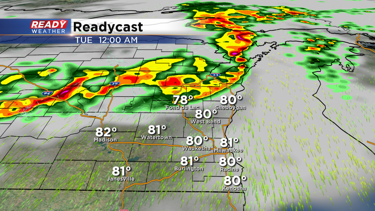
Another round of strong to severe storms is expected to erupt across central Wisconsin later tonight into the early morning hours. These storms will make a run at our area after midnight. The best chance for these storms will be northern areas that experienced heavy rainfall.
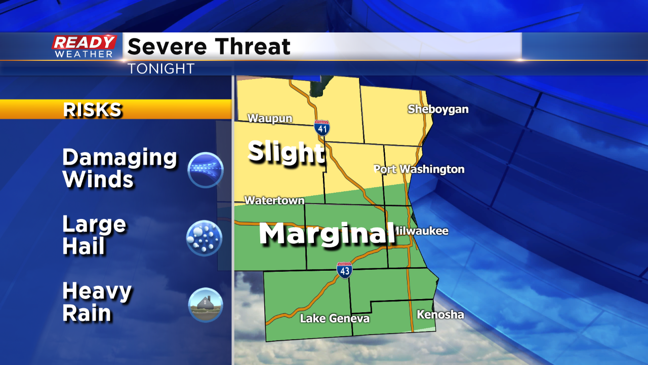
You can see where the slight risk sets up in the graphic above. Damaging winds, small hail, and locally heavy rain can be expected overnight, especially in the slight risk.
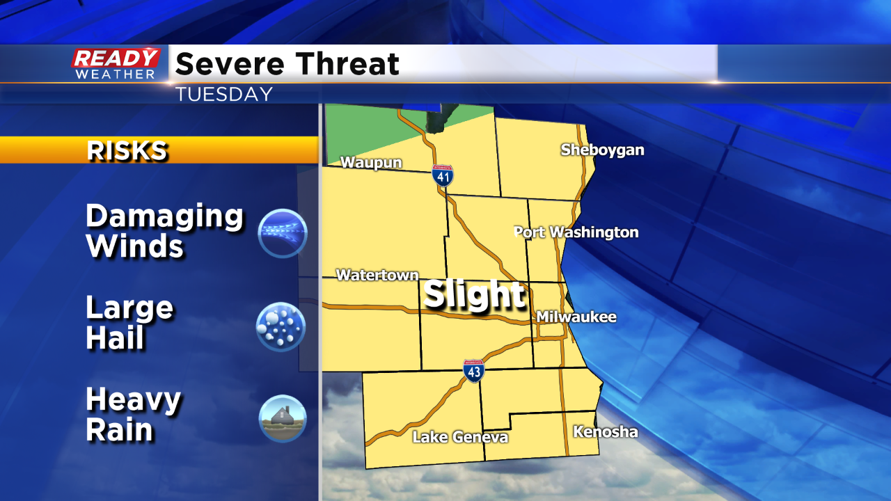
The more widespread chances for storms will occur Tuesday evening. Strong to severe storms are expected as the majority of the area is under a slight risk.
Storms from tonight will lay down an outflow boundary that will serve as a focus for more storms by Tuesday evening. Instability will be maximized with temperatures close to 90 degrees. All modes of severe weather will be possible for Tuesday night!
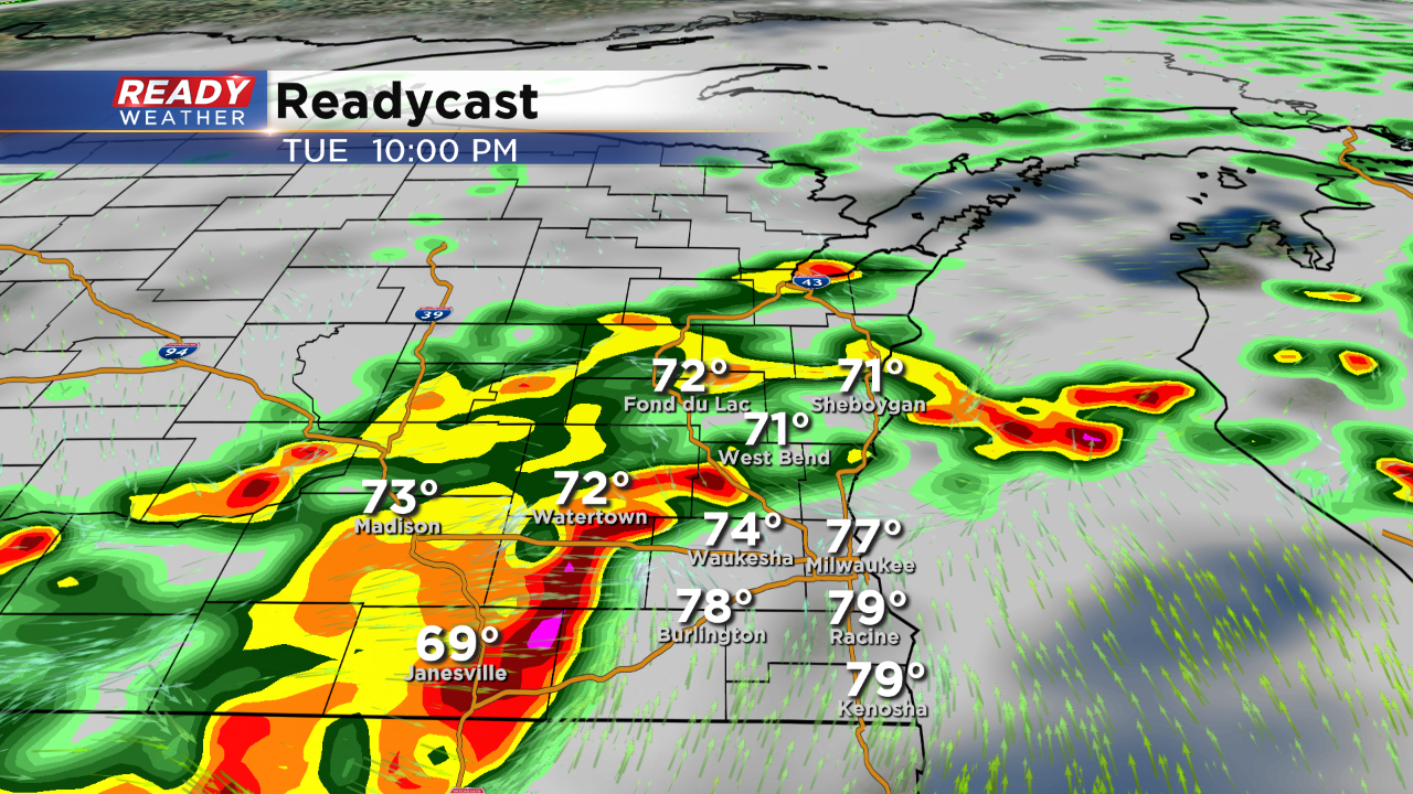
Rain will linger into early Wednesday morning before clearing out.