September Sizzle
The last stretch of September is upon us. As the only television station providing you with a ten day forecast, I wanted to point out that today's extended forecast takes us through the last day of the month. OK, maybe sizzle is a bit of an overstatement, but sunshine and above average temps certainly sums it up! Check it out:
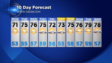
The average high temperature has now slipped back into the upper 60s today with that average high falling another few degrees to 65° by the end of month.The average low temp sits at 53° falling to 49° by the end of the month. So as you look at the extended forecast you can see we are expecting above average temps on both the highs and the lows right through the month. High pressure centered across the eastern side of the nation is one major factor keeping us mild with a southerly flow and providing plenty of sun.
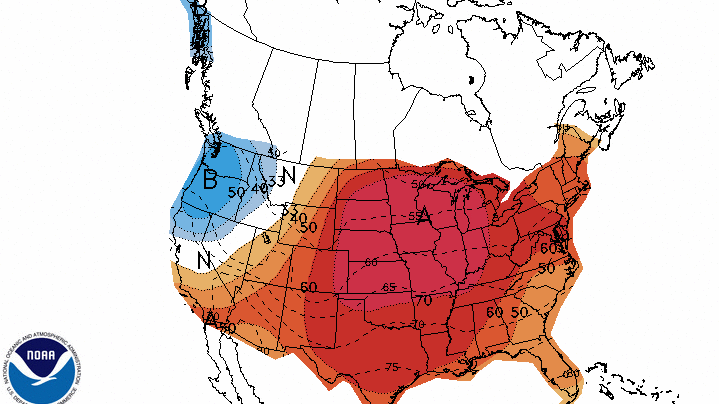
Beyond the ten day forecast, data indicates the mild trend will continue. Here's an image from the National Weather Service's "Climate Prediction Center" that shows an even higher probability that warmer than normal temps will continue into October.
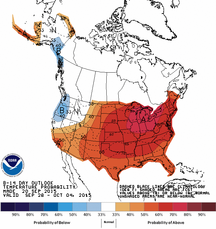
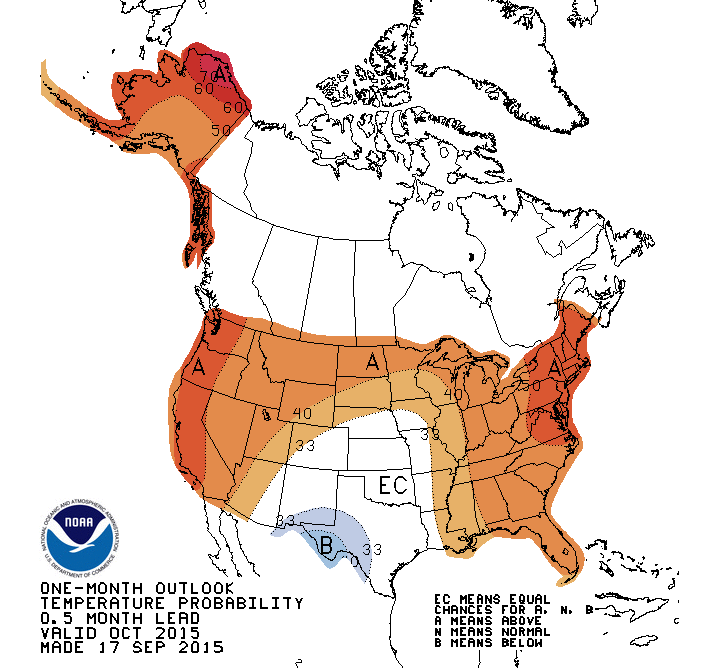
In fact, October may very well run on the mild side. We are also in the area for above normal temperatures through next month.
There are a few things that will change as we flip the calendar over to fall, loss of daylight. But that's a topic for another blog. Check back for daily blog updates this week!
I'm meteorologist Rebecca Schuld