Santa bringing more snow to Southeast Wisconsin
MILWAUKEE-From the First Alert Weather Center:
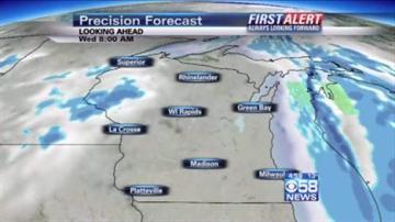
Clouds arrive Christmas eve and are quickly followed by light snow. The snow tapers off by early Christmas morning with accumulations of 1-3\". Lows are reached this evening in the single digits and rise by morning into the teens. Winds are gusty from the west southwest at 15 to 25 mph.
Christmas: Skies remain cloudy to mostly cloudy with another chance of snow in the afternoon. Expect an additional dusting to an inch of accumulation. High temps reach the mid to upper 20's with a gusty west to southwest wind of 15 to 25 mph.
Rest of The Week: Thursday is colder with highs in the upper teens under mostly sunny to partly cloudy skies. Friday is partly cloudy, and a few flurries, with warmer highs in the mid to upper 20's. Saturday warms into the upper 20's to low 30's under partly cloudy skies. Sunday turns colder, with a few flurries, as highs reach the low 20's in the morning and fall during the day.