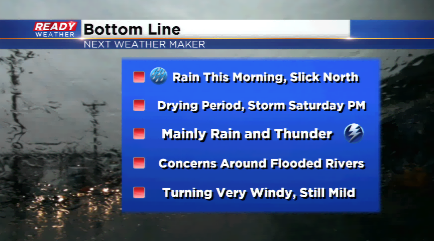
Rain/mix early today, then another round of rain for the weekend

A glaze of ice fell in the northern parts of our area leading to slippery spots along 41 and 45 northwest of West Bend and Lomira. The wintry mix will be at a premium the rest of the morning because of the rising temperatures as a southeast wind pumps in the milder air. The precipitation will come to an end by mid to late morning with a quieter rest of your Friday.
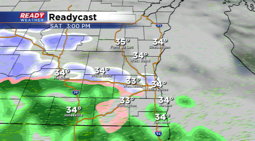
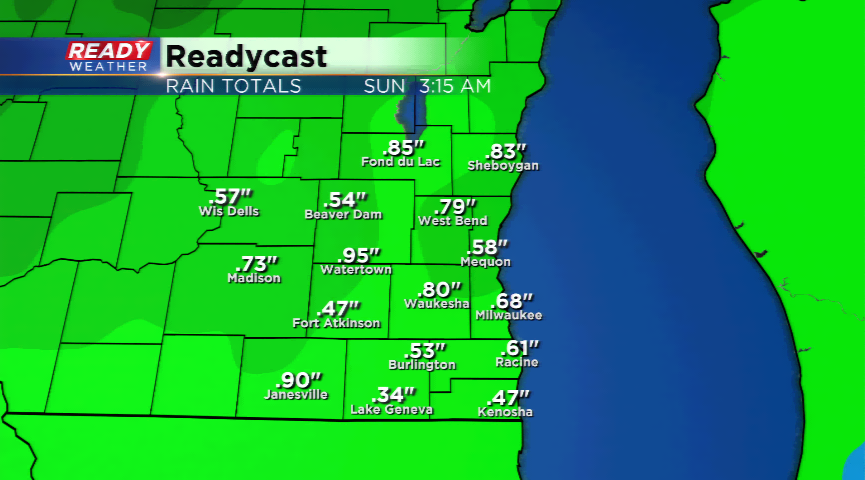
A stronger storm tracks into the region for tomorrow. The center of low pressure will travel just to our northwest, which means we will be in the warm sector of the storm. More rain is likely for the already swollen rivers and creeks in southeastern Wisconsin. Another 0.25” to 0.50” of rain is possible. Any thunderstorms that develop could bring isolated higher amounts. A few thunderstorms are possible as well.
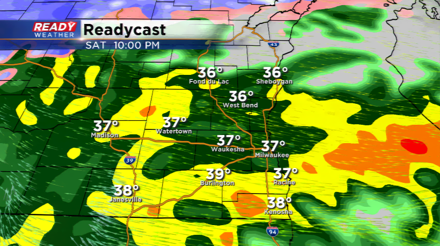
Cooler air funnels in by Saturday night. This will bring a wintry mix into some parts of the viewing area. Accumulation will be light on any of the wintry mix.