Much cooler and less humid...storms later this week!
High pressure will dominate the region early this week with cooler temperatures and much less humidity. The drier airmass will lead to temps staying in the 70s today and 50s overnight tonight. The northeast wind today will keep the numbers even cooler by the lakeshore with the lake breeze moving in. Highs will drive back closer to normal tomorrow with the ridge slowly moving to the east and this will provide a southerly wind.
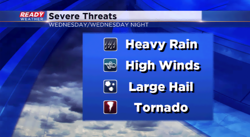
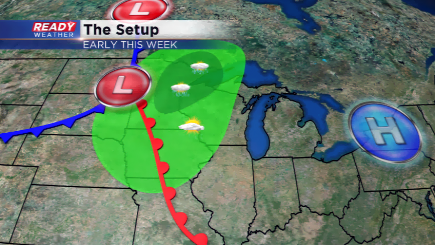
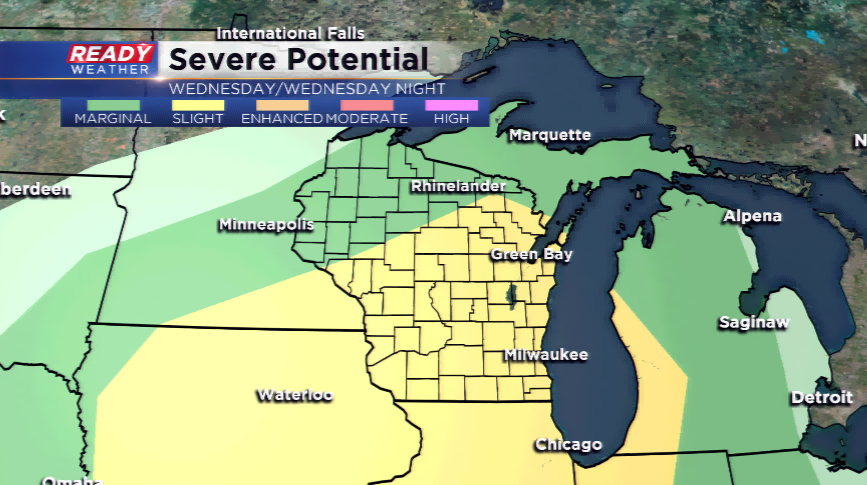
Some changes are expected by Wednesday. Warmer readings and an influx of moisture glides in around our next storm system. These ingredients will generate showers and thunderstorms. The Storm Prediction Center already has out a slight risk of strong to severe storms. Primary threats will be large hail and damaging winds.
High temperatures start to slowly drop behind a cold front for the rest of the week. Highs drop to the upper 70s by week’s end.