Midweek Showers Followed by Another Cool Down
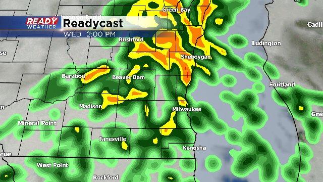
A little something for everyone. We have the chance for showers Tuesday morning with an upper air feature. Then another chance of showers, even thunder, into Wednesday afternoon as a cold front moves in from the Upper Midwest.
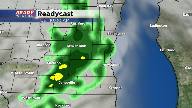
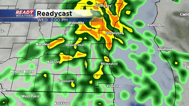
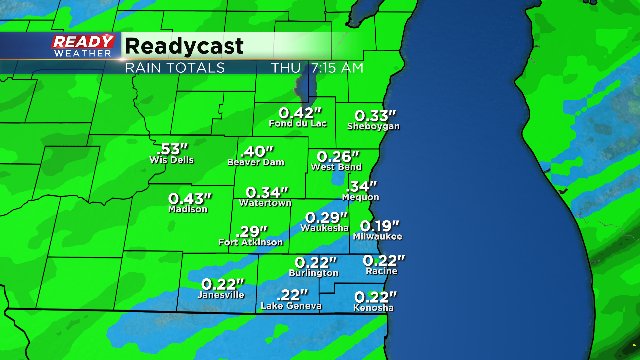
Over the next few days, we could see a few tenths of an inch of rain.
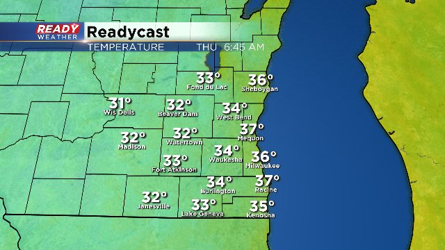
Behind the front, temperatures drop off a lot. We'll be in the 50s for highs by Thursday with morning lows in the 30s.
Patchy frost is possible, especially outlying areas.
The rain chances return in the middle of the weekend with yet another front. Showers and thunder are possible into Saturday night and lasting into much of Sunday.