Major winter storm will keep the heavy snow to the northwest

With the arctic air retreating, and warmer air finally settling back in, this is driving the storm track over the Midwest once again. A major winter storm will barrel into the region by Wednesday and last into Thursday. However, it doesn’t look like a blockbuster snow system for southeastern Wisconsin.
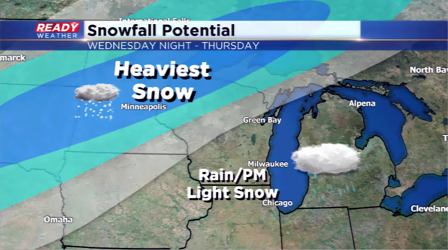
With the track of the low pushing farther north into central Wisconsin, this will scoot the heavy snow bands well northwest of the viewing area into places like Minnesota and North/South Dakota. Several inches could fall in those regions while our area could see the first 50 degree high of the season. Milwaukee hit 45 yesterday, the warmest day in 2018 and the warmest day since December 19th. The area hasn’t had a 50 since early December, and this is certainly possible with the warm sector of the storm moving in.
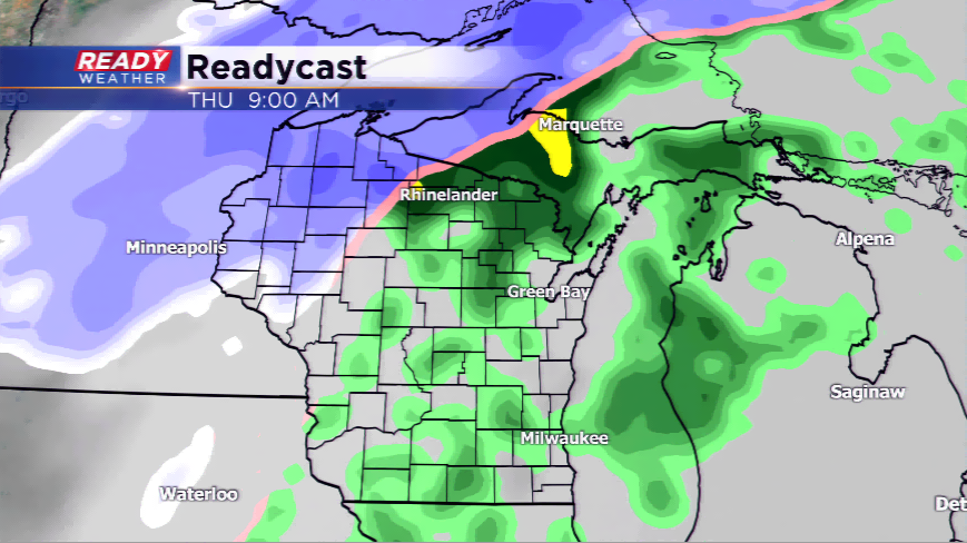
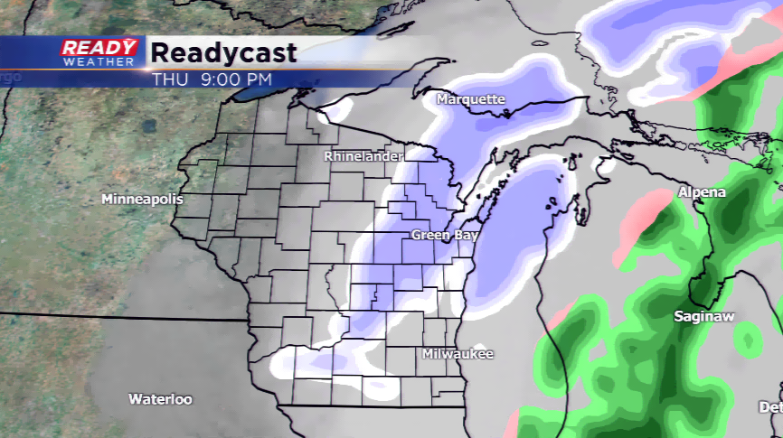
There could be some freezing drizzle or fog tomorrow morning, and then the fireworks of the storm get going by Wednesday night into Thursday before changing from rain to snow Thursday night. There could be a quick inch or two of snowfall late Thursday in some spots in southeastern Wisconsin.
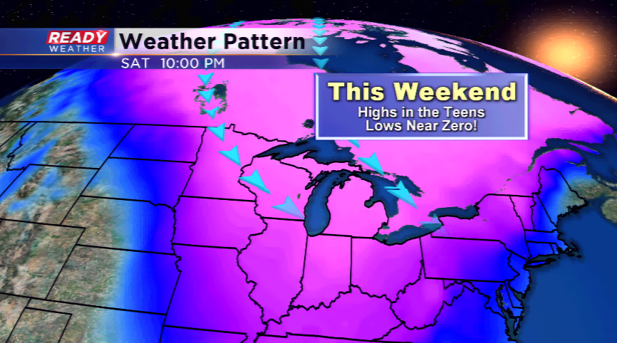
The arctic chill pivots in behind the winter storm and highs plummet into the teens by the weekend. Locations in the region could see overnight low tumbling below zero as well.