Hot day Tuesday, rain back for Wednesday
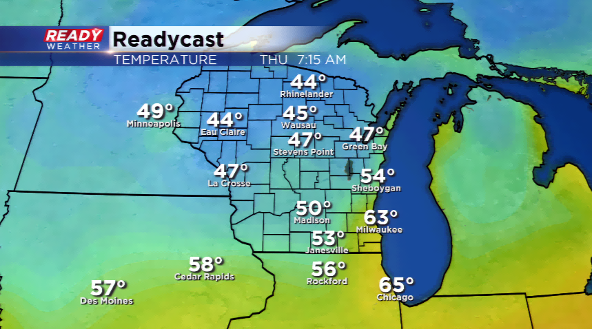
The areas to the west and north were getting hit hard by rain and storms overnight. Southeastern Wisconsin was encountering patchy fog this morning and cloudy conditions. The fog and clouds will lift, and expect a wonderfully warm and humid day today. Highs will make a run at 90 while the dew points will feel very tropical in the low 70s. It will have a summer feel in the air!
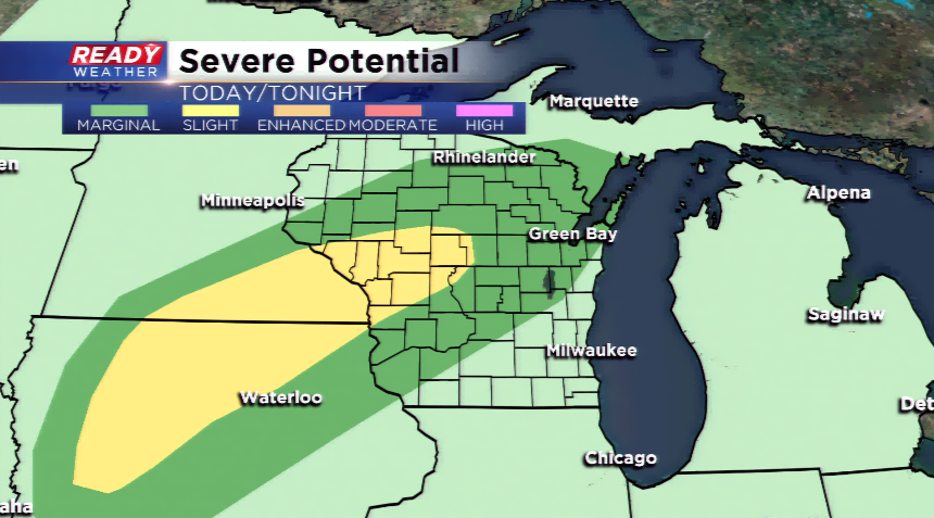
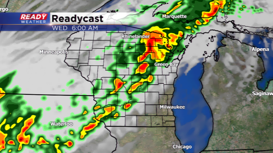
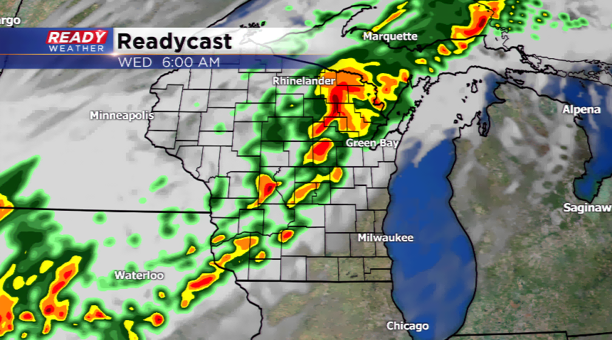
The warm front will lift away from our area and a frontal boundary leans into the region by later today and Wednesday. This will kick up widespread showers and t’storms. Most of this activity will not reach our area until late Tuesday, edging into the western and northern corners of the area. There’s an opportunity for stronger storms tonight for Dodge, Fond du Lac and that side of the TV market. Otherwise, expect rain to continue on and off tonight and tomorrow, then gradual clearing. Rain totals will range from 0.50” to over an inch in the western and northern tier of the region.
Behind the front, expect beautiful conditions as highs fall into the upper 60s and lower 70s. The humidity will be much lower as well. Lows north will plummet into the 40s, maybe even 30s. This will be our first true taste of fall for the season!