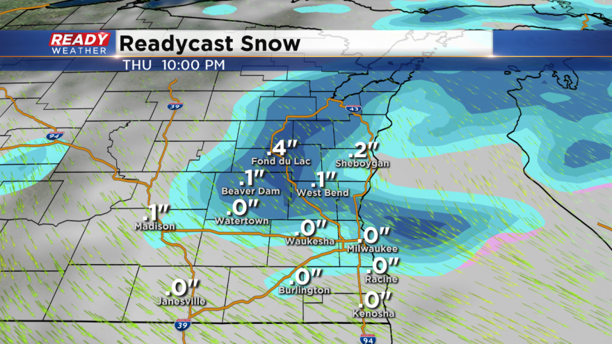
Rain to snow showers Thursday night
A beautiful afternoon with plenty of melting going on with highs in the 40s. It's been two weeks since we had a 40 degree high.
Plenty of changes are coming for Thursday! It should be another mild start with temperatures starting in the 30s. Highs will climb back into the lower 40s on Thursday before a cold front switches the winds from the southwest to the northwest by the afternoon.
The wind shift will usher in colder air that will eventually support snow showers by Thursday evening. Plan on rain showers for most of the afternoon; however, between 7 pm and 10 pm, the cold air will transition the rain to snow.
We aren't expecting major issues with this system. Accumulations will likely range from a dusting in most spots to a half an inch across Sheboygan and Fond du Lac counties.
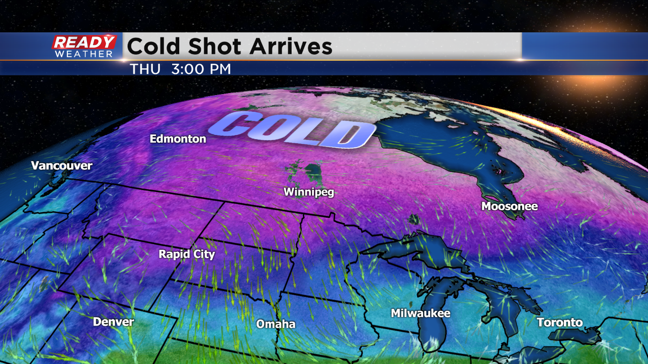
Our next shot of cold air will hit us for Friday and Saturday. There could be some flurries or light snow on Saturday, but the cold won't last. The great part about this pattern is the cold air will be short lived as southerly winds quickly return.